Chapter 2: Blue River to Grand Prairie

Following the shore of an ancient seaway, I finally felt gone.

I no longer apologize for being a horse of a different color. You try to pass when you’re younger, but eventually, you have to come clean and just be yourself. One former friend hauled off on me in the fjordlands of New Zealand, demanding to know why I couldn’t just paddle a kayak like everyone else. Why did I have to ponder the history of boating and the physics of wind and waves meeting hull shape?

Even a few years ago, a project manager asked me in genuine curiosity, “Why don’t you just sit on a nice beach? Just relax? Why do you go to these places and do these things?”

A small blue tent sits on a ledge below a sweeping orange wall streaked with brown.
Here is why I go to these places. Camping in Harris Wash, Escalante National Monument.

I have realized road tripping is my beach time. It’s an old habit from the days I rode a school bus 35 miles from Grand Portage to Grand Marais along Lake Superior in northern Minnesota. We moved there from Chicago when I was too old to fit in. Reading and doing homework made me a target of ridicule, but tuning out and daydreaming did not. So I rode each way every day gazing out the window, faraway on an imagined adventure.

I road trip to relax today, stopping at places that help me piece together a picture of the world. I am not thinking about relationships or careers; I’m weaving a tapestry. I’ve road tripped mostly in the U.S., but also Mexico, Canada, Costa Rica, France, and New Zealand.

On the Osa Peninsula in Costa Rica, we ditched our rent-a -wreck and walked the beach to our destination, watching scarlet macaws on the way, while our packs took a more sustainable ride.

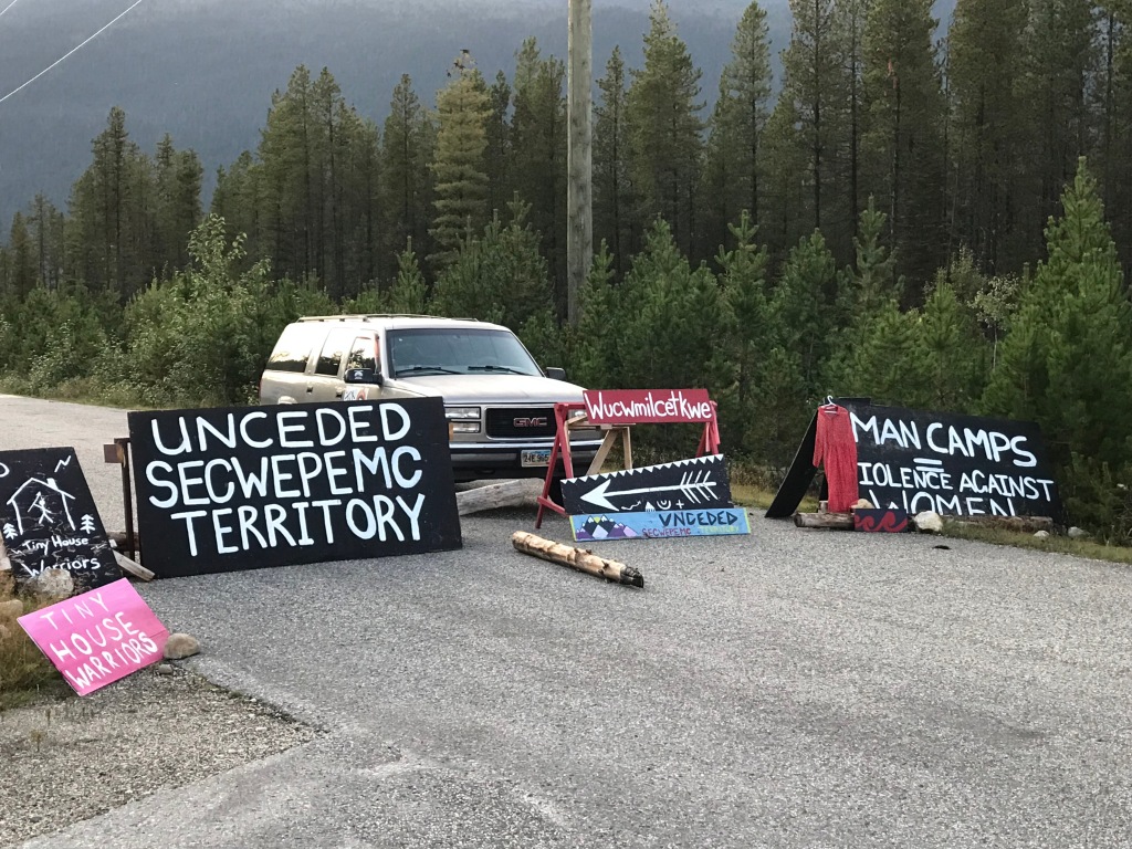
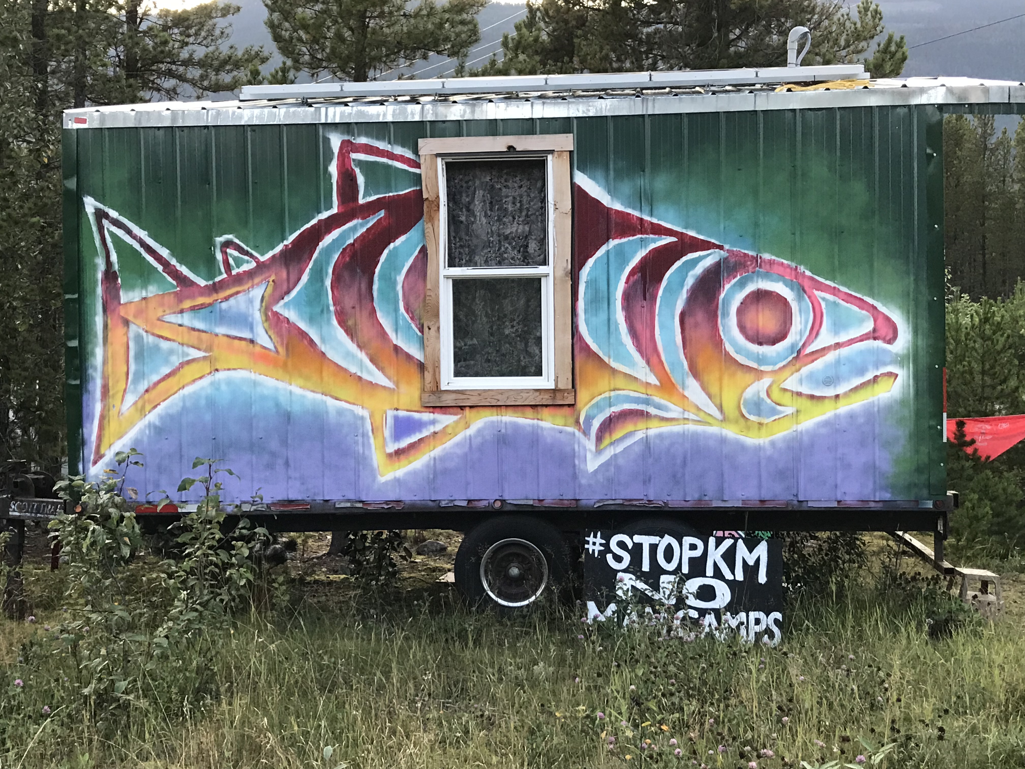
I won’t apologize for my personality anymore, but I am swallowing a heavy dose of catholic guilt as climate change gathers like thunderclouds. I drove a fossil fuel burning car thousands of miles, sailing past oil derricks and active gas pads, as Greta Thunberg sailed to the U.S. to share young people’s frustration with our inaction.

Abandoned oil derricks and wells are an increasing problem for landowners and the environment in Alberta. This derrick was fenced off with stark warnings about the potential for death due to hydrogen sulfide gas emissions.

The fact is, I would not be taking that trip in an electric vehicle without more infrastructure. There are charging stations in Alberta, including one in High Level. But there are none in Northwest Territories. And a bus to where I was going? Nope.

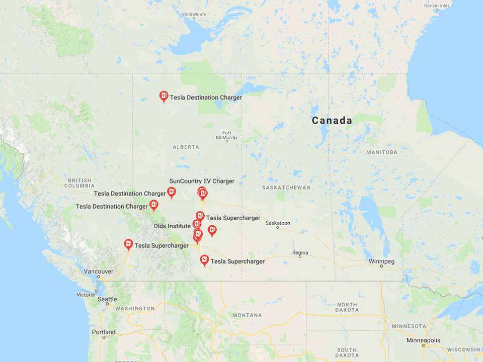
If a hybrid or EV broke down, I’m not sure if any of the few service stations along the way could fix it. Not going there is really the only carbon-saving option right now. Not traveling far may be our only option in the future, as it was in the past.

I carried tools, spare vehicle fluids, and gear to weather a break down in a place where help could be a long time coming.

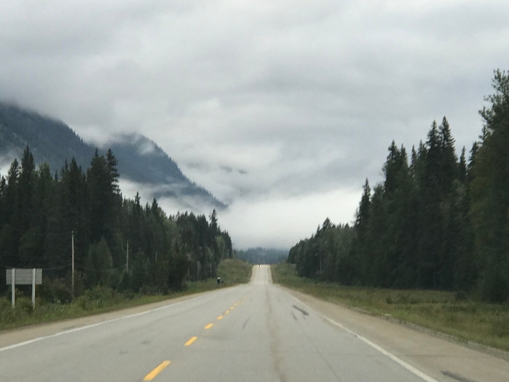
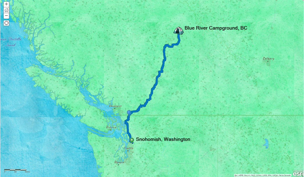
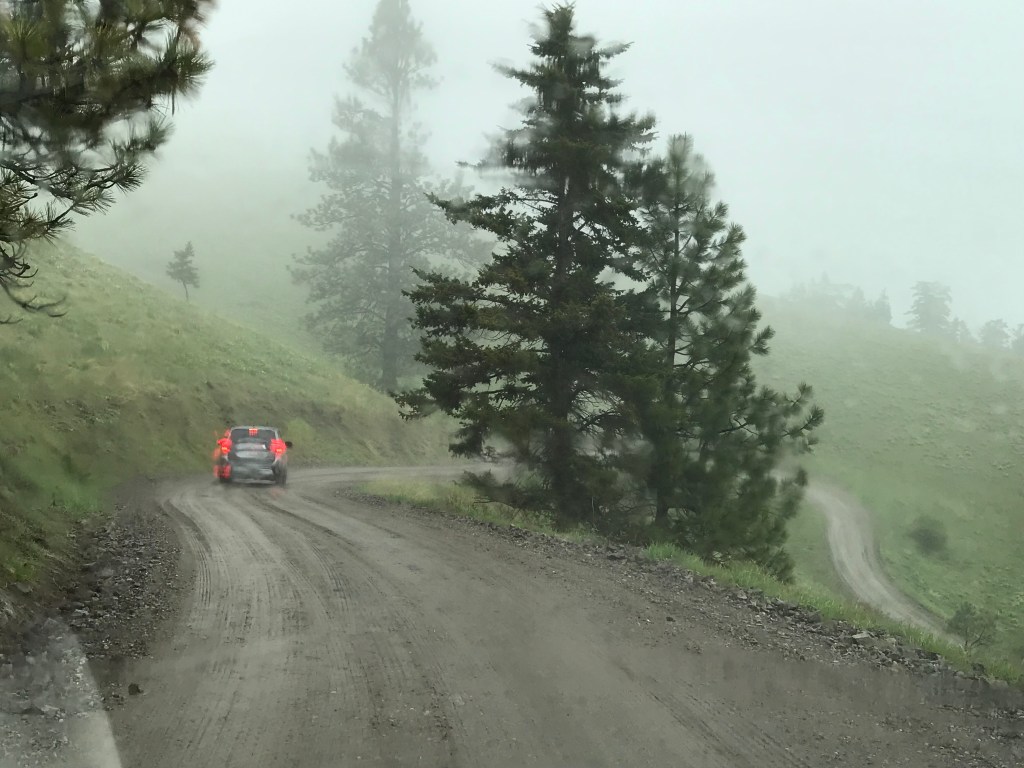
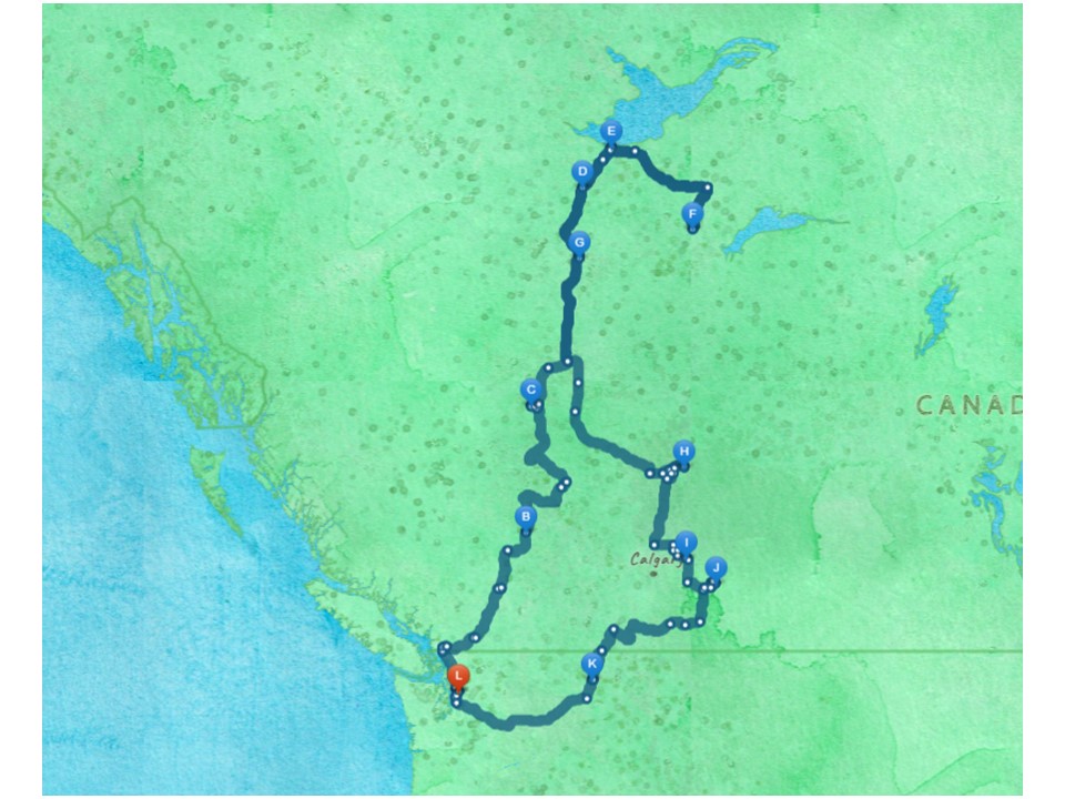
On my second driving day, I needed to get from Blue River, BC to Saskatoon Island Provincial Park, west of Grand Prairie. I intended to be efficient driving so that I could visit the Philip J. Currie Dinosaur Museum before setting up camp. Fill up the tank, stop for lunch, stretch legs as needed, but keep moving.As usual, that was wishful thinking.

I drove across the outcome of the Laramide Orogeny- uplifted mountains- to reach the prairie. My goal was Wembley, Alberta, where the Philip Currie Dinosaur Museum sits, close to my camp.

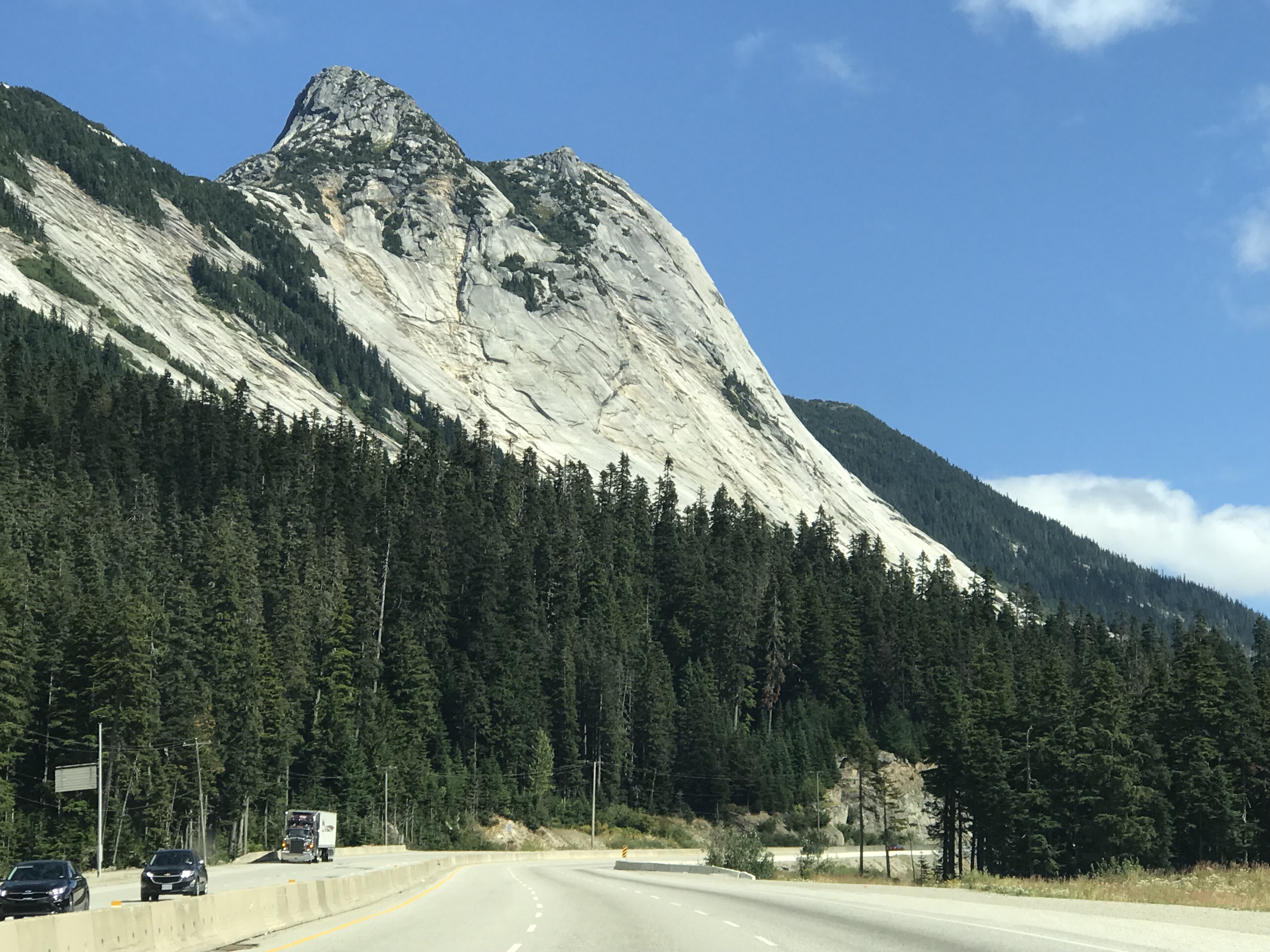
I guess I would be more subject to highway hypnosis if I were less distracted along the way. Something catches my eye and I’m out of the car investigating. The dramatic uplift in Jasper National Park caught me first. I camped there a couple years ago and hiked the park, a geologic preview of my current trips.

If you stare hard enough at the rock faces in Jasper National Park, you can see them bend and move.

As you drive from West to east, you trace the fallout from subduction events that lifted the Rocky Mountains and drained an ancient tropical seaway. The warm, swampy wetlands and estuaries yield coal today; gas and oil come from ancient marine reefs.

Without polar ice caps, sea levels rose and and a seaway ebbed and flowed across North America for tens of millions of years. USGS, Public domain, from Wikipedia
The rise of the Rocky Mountains sent massive amounts of sediment flowing into the seaway and along with a cooling climate, helped drain the ancient waterway.

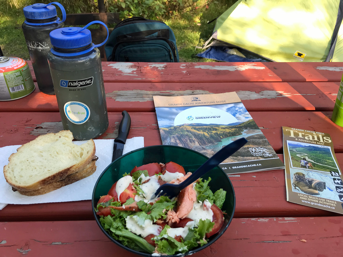
I stopped in Hinton, Alberta to fuel up and stop at Freson Bros. for groceries. On a trip to Jasper and other Alberta sites, I stayed at the Hinton KOA and found Freson, passing by the big chain stores. It is a great place to shop, featuring Alberta products throughout the store. Then there this great mascot outside to greet you. This time, I stocked up on salad fixings and even found smoked salmon, something I couldn’t make this year because our salmon run never happened.

Can’t miss him- the big grizz outside Freson Bros in Hinman, Alberta, standing on his hind legs and apparently waving hi.

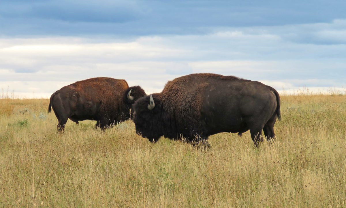
After my grocery stop, I turned north on the scenic Alaska Highway, running somewhere along the shores of the ancient seaway. I didn’t do any better making up time because I started seeing wildlife signs- for caribou! I’ve never seen caribou before, and wasn’t super hopeful they would be wandering the road in the middle of a nice fall day.

Highway 40 is unfortunately the road with highest caribou mortality in Alberta.

I found information at a pullout by the Big Berland Provincial Recreation Area. This lovely area has camping among spruce and aspen along the Berland River, close to Willmore Wilderness Park. Anglers fish the Berland. This is definitely a place I want to go to in the future.

Caribou do migrate through this area, but in a different season. I caught up with more information when I reached the Grand Cache Tourism and Interpretive Centre. This is where I started to really get into the trip, greeted outside by a sculpture created by inmates at the Grand Cache Institution.

There was information about the Caribou Patrol, which is trying to reduce caribou deaths on Highway 40, and about caribou biology. I started thinking a stop at Big Berland would be good to add to a return visit to Blue River and Jasper; maybe I would see caribou for the first time.

The significance of the Grand Cache/Grand Prairie area in my journey is best summed up in this video about the area’s ancient secrets. It includes scenes from the Philip J. Currie Museum, where I was headed.

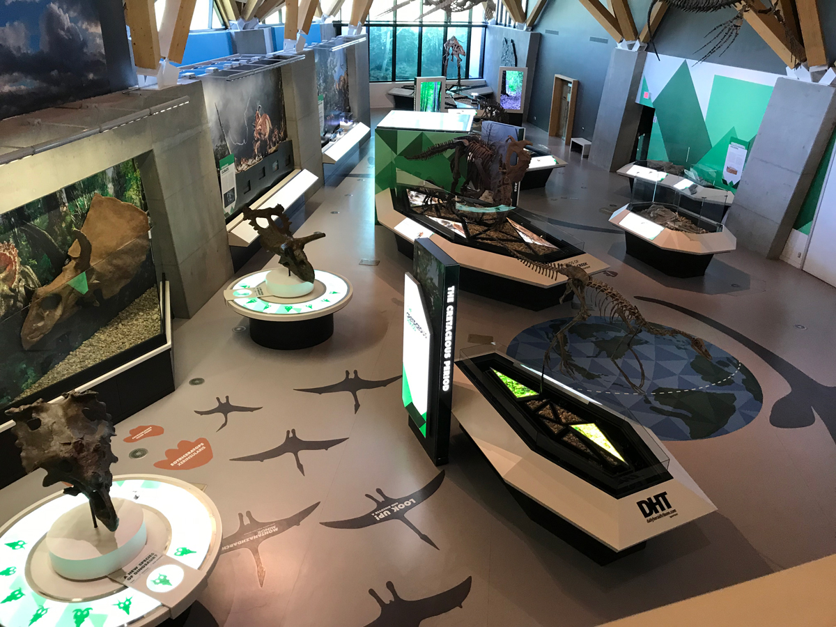
I made it to the Currie Museum in time to peruse the exhibits and pick up a few gifts (T. rex earrings for me) before it closed for the evening. The Currie Museum has great dioramas and even video (some of them a little gruesome, complete with screaming prey dying off screen). The museum is highly interactive, and staff are super friendly. The person who manned the reception desk and gift shop laughed when I told her the story of the Milk River dino that needed a hat to stop scaring kids.

As you walk through the Currie Dinosaur Museum, you can hear thunder warning of the catastrophic flood that washed a herd of Pachyrhinosaurus into an area that is now the Pipestone Canyon bonebed.

“Oh, we had that when we opened,” she said. “We used to have animatronic dinosaurs on each side of the door. You would enter, and one would turn its head to look at you. Then the other would scream. Yeah, that didn’t last.”

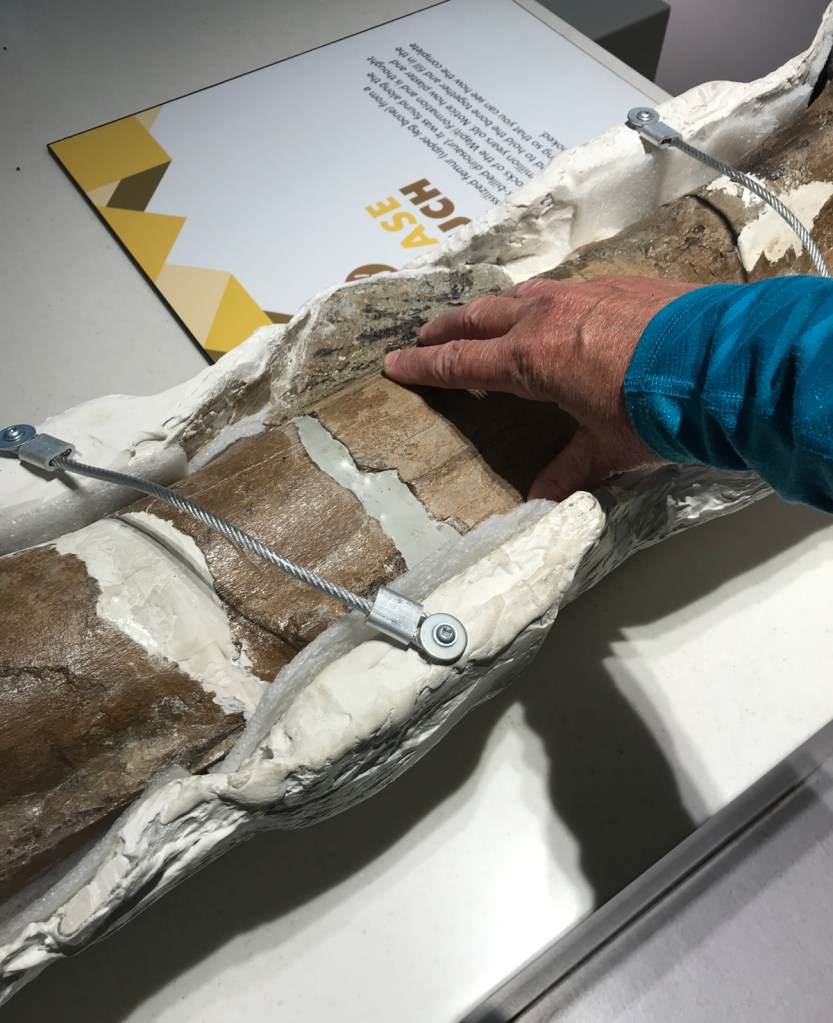
But the best part for me- well, I got to touch a real fossil. I have found the last couple of years that I can be totally happy just sitting in the presence of fossils, trying to grasp vast time and imagine bones articulated, covered in tissue, and moving a live animal through the landscape. I’m good with the screaming.

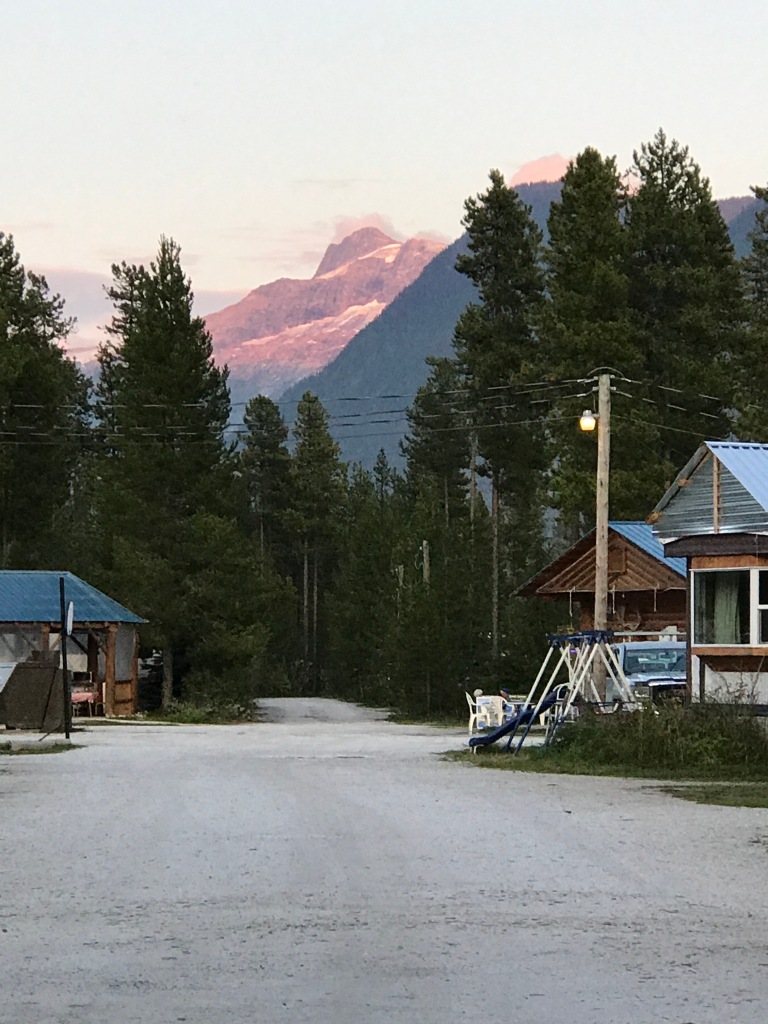
Then it was time to head to nearby Saskatoon Island Provincial Park to find a campsite.

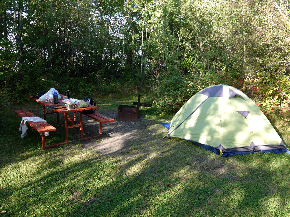
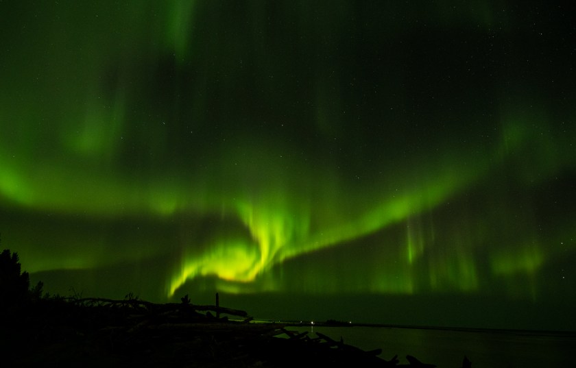
Saskatoon Island has a walk-in tent camping area right by the lake. I felt like Goldilocks wandering through to find the best site. I was the only one in that section. I found a nice little private site, set up, and had a quick dinner before checking out the trails. I found waxwings, deer, a rabbit, ducks. I heard kingfishers somewhere. I did not find one of the moose they warn you about that evening. No, it wasn’t until I tried to sneak down to the water after dark to see if the aurora was out that I had stepped into the path of a moose. Fortunately, it let me scramble back up the path to my tent.

The trip was settling in now. Maybe setting up the tent made it real. Or the first museum visit. I had that “really away” feeling- finally.

  • A yellow tent is set up on the grass by a brick red picnic table with stuff on it.

Chapter 1: Snohomish to Blue River

Hitting the road with a little extra baggage and an unwanted passenger.

Important notes: This is installment #2 about a road trip to Wood Buffalo National Park and back. The straight up tourist info stuff will be posted here . This is the story stuff.

And some names are changed to protect the guilty.

Watercolor map showing Snohomish WA and Blue River Campground, with my driving route shown as a blue line.
The drive from my home to Blue River, BC is short enough to make it a destination for a long weekend trip.

It’s a short run to the Canadian border from my house if I head straight north. I avoid the Peace Arch crossing unless I am going bird watching in Delta. It’s too busy, with uncharacteristically unfriendly border guards. This time, I sailed through the border at Sumas.

Uncomplicated border crossings are one blessing of becoming a boring middle aged woman. I had far more trouble when I was younger and likely to be the target of drug dealers (“can you carry this bag over the border for me” is a real question I’ve heard). The younger guards make half-hearted attempts to snare you with questions about how a dinosaur dig is run or the actual location of Wood Buffalo National Park. When you blather on with happy paleontology chatter or your driving route to Northwest Territories, complete with scenic stops, they wave you through without examining your car full of gear. I won’t be abusing this privilege any time soon because I know they keep records.

You know you are in wild British Columbia when you reach overpasses like this one.

Blue River was the first stop on my drive to Northwest Territories. I selected it as a potential short trip destination. This small town is short day’s beautiful drive from my home, and definitely worthy of a longer return trip. While it was a stopover on this trip, it is an outdoor recreation destination. Summer offers hiking and paddling, river ecotours for wildlife viewing. Winter offers cross-country skiing and snow-sledding.

View of a smooth rock face sweeping above the
The drive to Blue River included sweeping mountain views along the way.

Blue River wasn’t a town when indigenous peoples would have cherished the area for the abundance of wildlife- and likely fish- at the confluence of the North Thompson and (of course) Blue Rivers. It became a hub for fur trading and later, the railroad. In the 1940’s, interred Japanese Canadians were put to work building the Yellowhead Highway that forms part of the Trans-Canada transportation system. Blue River is supported by logging, transportation, and tourism.

I didn’t have time to do much at Blue River besides survey the area for future trips. I drove and walked to chart out what I would do on a long weekend holiday sometime next year. Evening and rain were falling.

Right before turning in, I walked out of the campground to find an eerie protest scene. I know the story- indigenous peoples among others (including my state) are protesting an expensive boondogle of a project to parallel an existing crude-and refined-oil pipeline and extend it to the coast. Once a private project by Kinder-Morgan, the controversial project was taken over by the Canadian government to the tune of billions in taxpayer funds.

Image of a road blocked by an SUV and signs that say "unceded SECWEPEMC territory" and "man camps=violence against women".

The protest at Blue River focused on indigenous rights and man camps. Temporary concentrations of workers across oil country has resulted in short-lived population booms at dubious camps that attract a broad range of sins, just like early pioneer towns. Or some college fraternities. Bad things can happen, especially to indigenous women.

I photographed the red dresses hanging in the forest and the protest signs as the night fell. I heard voices but saw no one. I realized standing there in the rain that I couldn’t be too judgy about Kinder Morgan’s pipeline, having driven there in a fossil-fuel driven vehicle built of mined and manufactured materials. At what cost?

I had chosen family-friendly Blue River Campground as my stopover. It was casual and inexpensive, with a shower room for campers. I rented a small camping cabin instead of setting up my tent. Cheap and convenient.

And very necessary since I really was not well.

A driveway runs between cabin buildings, with a forest behind and a mountain towering over the scene.
Blue River Campground, in the valley below some beautiful British Columbia Mountain landscape, before the rain started falling.

I bought my house 19 years ago from a couple notorious for their drinking. She was a mean drunk; he was violent. They drank every day in the short time I knew them. Morning started with coffee, then beer. Mixed drinks appeared by midday, straight hard liquor by mid-afternoon. She lathered family and neighbors with insults and profanities. He muttered and swore, occasionally whirling red-faced on anyone he imagined might be Viet Cong.

I learned this only after signing the agreement to let them rent for thirty days. They said they needed time to pack up a quarter century of belongings and memories. She showed me a closet full of frothy finery and photographs from her days riding costume class in Arabian horse shows. The house was filled with hearts and flowers, the yard littered with garden gnomes and homey plaques, perhaps to counter her poisonous malice toward all of humanity.

Costume class: a modern rendition of a long tradition that requires a trained horse and skillful rider. From Wikimedia Commons, Montanabw [CC BY-SA 4.0 (https://creativecommons.org/licenses/by-sa/4.0)%5D

The barn was full of clutter except for a corner of the hay loft where armchairs and tables offered a place to watch the sun set over the river from an incongruous picture window. I cleaned out piles of cigarette butts and used hypodermic needles lining the rafters above. An addict’s man cave.

I moved two containers of debris and bad memories from the barn after the previous owners left.

I feared Kevin the most during the week before they threw a boozy moving party for friends and left early. In that time, I was caring for one of my horses and building paddocks for the rest of the herd to move in. If Kevin wandered by in the afternoon and sensed a threat, he would whirl on me, roaring incomprehensibly…then slur an apology and stumble away, eyelids sagging and red.

It was a good thing I did not know about the hot tub incident then. My now-beloved neighbor told me how Kevin shot a man in a drunken rage. He imagined the man was flirting with his mean wife at a liquor-fueled hot tub party. The man’s back took the bullet; the hot tub was intact. The victim was airlifted to our Harborview trauma center by helicopter from the back pasture. Kevin did 3 years in jail. The victim never walked again. Kevin was out now, and they were leaving the house and the memories behind.

My homestead is a more peaceful place now. And I have good reason to need that peace.

My immune system is Kevin. I live with a belligerent, paranoid, twitchy drunk within. My Kevin has a nemesis, too: not the Viet Cong, but Gram-positive bacteria that sneak in via skin wounds. When Kevin sees them he blows up, throwing glasses and tables and chairs. If it gets too bad, he whirls on me as the enemy and comes out swinging.

The only way to stop the chaos is to coldcock Kevin, dropping him flat until he sobers up. It’s only been once that Kevin really blew it, 13 years ago. This year, I blew it.

On a late-May trip to Alberta detoured by rain, wind, and snow, I didn’t think too much about bugs. I had only one nice weather day, during a visit to Writing-on-Stone Provincial Park. There were a few mosquitoes. Days later, when my shoulder stung on a hike in Waterton National Park, I assumed my camera and backpack straps were chafing. That raised bump I could feel? Probably a blood blister.

Horse petroglyph, Writing-on-Stone Provincial Park, a World Heritage site in Alberta.

It was only when I arrived back home a week later that I looked closer. The blood blister seemed to be moored only on one side, so I pulled- and pulled it off. In true horror movie style, the legs of a bloated, long-embedded tick wiggled at me in protest.

A car driving on a winding, slick road in mist and fog brakes.
Note to self: even if your whole vacation has weather like this, do a tick check every single day. Here, driving through the National Bison Range in Charlo, MT.

The pathogen had already worked its way from the tick’s mouth parts under my skin, but the urgent care doctor mistook infection for bruising and decided to be conservative about prescribing antibiotics. The next day, angry red streaks raced toward the lymph nodes in my armpit. Kevin looked up from a long, sober slumber.

By the time the infection was under control, Kevin was out of it and coming for me. On the worst night, I drove home from work exhausted, feverish, and in crippling pain. I had left the door unlocked and ajar that morning, knowing I wouldn’t have the strength to turn the key in the lock and twist the knob. I pushed the front door open with my shoulder, shuffled to the couch, and laid down fully clothed for the night. I was too weak to fix dinner, take a shower, climb the stairs to my bedroom. I lay there breathing, listening to the air rasp back and forth across my throat, wondering if I would wake up the next morning.

The only home I have ever owned has been a sanctuary for me through some trying times.

I did, and decided to take control and break some rules. I broke into emergency travel meds and called my doc to demand reinforcements. Within hours, Kevin was down for the count, sullen and subdued. Two weeks later, he had retreated back to the addict’s man cave.

But the bacterium was still there. Pathogens are talented at hiding in systems built to expel them. They lurk in lungs that should cough them out, settle in pooling urine that should flush them, swim among our intestinal flora and suddenly stage a coup. They shield themselves with biofilms or spore coats, sometimes hiding under lesions we build to wall them off. This one settled somewhere south of my kidneys.

When two rounds of antibiotics failed to prevail, we cultured to identify the enemy. The day before I left on this trip, my doc called me as I sat among train commuters traveling home from work. She sounded befuddled, said it was a really odd one. Notoriously drug-resistant. I couldn’t ask for more detail with everyone looking at me. Train riders abhor medical discussions, and it would be too late to call once I got home. She would post lab results and send me with a drug and a back up.

I asked the obvious- should I really travel into the hinterlands? She thought maybe yes, and she had spent years serving remote villages in Alaska. She should know, right? She was going on vacation, too. “I’ll see you when I get back, Miss Monica,” she said.


In my simple little camping cabin at Blue River, I curled up shivering in winter weight clothing and a puffy sleeping bag. The cabin’s portable heater blew hot air full bore as the rain fell outside. I fell asleep and dreamt of red dresses flowing languidly in a chilly breeze among the dark trees in a damp forest.

I had made it. I got myself on the road and was leaving the cocoon of home. I was on my way.

An unexpected journey

It was supposed to be a straightforward adventure. And then my path turned to water and light, life and death, and deep time.

My best laid plans always leave room for surprise.

Bright green arms of the Aurora Borealis spread across the starry sky over Great Slave Lake.
The aurora borealis shimmering over Great Slave Lake, Northwest Territories.

It was supposed to be straightforward. I would take another road trip to a bison destination to gather blog and story map content. I would add to the project I sweated over for 18 months to publish– and then recovered from , letting it languish online for a year. My day job swelled with opportunity to innovate and lead. I suddenly found myself mentoring two college interns. I needed to divest myself of the whole Barbie Western Ranch kit after my last horse died. The country descended into surreal chaos. Too much going on to think, write, draw, communicate anything personal.

Cover image for a Story Map, with a title and buffalo staring out from the screen.
“On the Trail of the North American Buffalo” now lives on ArcGIS Living Atlas of the World.

This trip, I would take time to decompress. The interns would be back at school. I would spend more time traveling, four days driving to Northwest Territories and Wood Buffalo National Park and three weeks on the road. I meticulously penned the plan on a pre-flight wait in March. I scheduled the trip for September to avoid mosquitoes and crowds. I left an itinerary and emergency numbers with my sister, neighbors, coworkers, friends. I would check in regularly. All set.

But my journeys, no matter how strategically planned and defined in scope, always lead somewhere I don’t expect. This time, it was meant to be about wildlife, documenting travel tips, history, updating neglected blogs with new stories.

And then my path turned. The journey became all about water and light, the randomness of life and certainty of death, and deep time.

blue sky.
A golden eagle flies over the rich boreal forest of Northwest Territories.
A large wood buffalo bull walks among young aspen trees growing at the edge of the boreal forest.
A large wood buffalo bull walks among young aspens at the edge of the forest.

It will take me awhile and a few posts to unpack this journey. I packed not only my gear but also a strange and dangerous organism that dogged me all summer and almost won. I drove across a national border and turned off the news to ignore my country in historic chaos, anger, and agony. The unexpected changed my perspective at every stop.

I’m not superstitious, but I will always carry a small wooden square carved from an ancient tree, pressed into my hand by a Métis man who struck up a conversation with me. He insisted I take the square with me to ensure my survival and safe return to Canada in the future. He asked me to look up the real history of St Paul des Métis, where the tree once lived. He wanted me to share the story as far as I could. People needed to know the truth, he said.

At the time we spoke, I wasn’t sure I could do that. There might not be another trip. Ever. By that point in my travels, I felt overwhelmed, almost done in by a microscopic pathogen, and meaningless in the face of time. I wasn’t sure it mattered what happened to me. This was supposed to be a simple adventure and now I felt like a kayaker spilled into infinite rapids, grabbing a breath anytime I surfaced in the sunlight.

Then, after that conversation, the tide turned- suddenly, finally.

The sun rises over Great Slave Lake, on the shores of Hay River.

Here is the path I followed, a route that landed me in a place unimaginably old. Watch for updates as I set out on the road for my first destination: Blue River, British Columbia.

My journey from home to Wood Buffalo National Park, through the badlands of Alberta, and back home again.

Key:

  1. (A) Snohomish, Washington
  2. (B) Blue River, British Columbia
  3. (C) Saskatoon Island Provincial Park, Grande Prairie, Alberta
  4. (D) Sixtieth Parallel Territorial Park, Northwest Territories
  5. (E) Hay River, Northwest Territories
  6. (F) Peace Point, Wood Buffalo National Park, Alberta
  7. (G) High Level, Alberta
  8. (H) Elk Island National Park, Alberta
  9. (I) Drumheller, Alberta
  10. (J) Dinosaur Provincial Park, Alberta
  11. (K) Springy Point, Idaho
  12. (L) Home again!