
As I continued north in Alberta, something felt hauntingly familiar. You worry about this feeling as you get older, wondering if some sort of neurological decline is setting in. It did not really gel for me until I reached the 60th Parallel that I had traveled to a place I already knew.
When I was 12, my mother decided abruptly- as, on a Tuesday- that we would leave the rat race of Chicago and move to northern Minnesota. By Thursday we were back at our apartment packing up. The move might have saved my brother who was going astray with too much opportunity for trouble in the city. It might save both my brothers in a neighborhood where boys were being stalked by a serial killer.
A few years before, my mother had purchased a small cabin at Hovland, Minnesota from some hippies. She had saved everything she could find to buy a tiny place with no running water or electricity. We had spent a few summers there, with family friends tagging along. My grandparents visited once, but stayed in a tourist cabin; our place was too basic. Now we would move for real, to a place that was no place for city folk to spend a winter.


Our years in Minnesota were no Hallmark holiday special . My mother’s high-risk move didn’t resolve as pastoral bliss, with sunbeams radiating from parting clouds at the end of an hour minus commercials. I didn’t transform into a young Rachel Carson, an urban child suddenly enthralled with nature. I never even realized I was standing in the largest biome on the planet, the boreal forest.
Way back then, I didn’t know this forest is a huge carbon sink, home for significant wildlife– and being lost to products like toilet paper.

Minnesota then was the place I just wanted to leave. In my own words from some years ago:
I sat on the shores of a frozen bay along massive Lake Superior, gazing at the Northern lights shimmering across the sky. I sat huddled in an oversized, ugly snowsuit, sorel boots, wool hat, and lined wool mittens. I was as lonely and bent toward the future as any teenager stranded in a foreign and isolated place. I wanted to be far away from trailers, cabins and shacks. I wanted to breathe without the smell of propane heaters in ice fishing huts, and the choking fumes of diesel, gas and oil that ran buzzing chainsaws, growling logging skidders, and screaming snowmobiles. I wanted to run from a strange world of drunkenness and teen pregnancy and domestic violence punctuated seasonally by the puzzled eyes of well-appointed city tourists seeking natural beauty.

If I could dissolve into light, I imagined, I could rise to the sky like the Northern lights and catch a ride on stratospheric winds to some faraway place where my mind’s eye could already see sunlight and hear laughing, chatter, music.
We lived in a land divided, with white folk living in Grand Marais at the foot of the Boundary Waters Canoe Area and the Grand Portage band of Chippewa Indians on remnants of their former lands by the Pigeon River. Well-intentioned city dwellers streamed in to escape their rat race, bringing their culture with: they started community theaters, reading groups, and artisan shops. Tourists flooded in during the summer to visit Isle Royale, and to cross-country ski in the winter.
The rest of the year, local people were left facing each other and facing off. Nurses from the Grand Marais hospital were caught gossiping about their patients at the Blue Water Cafe. People gossiped about my mother, a single white parent living on the rez with her kids. I learned about domestic violence, alcoholism, and suicide from my classmates. I learned about turning in and eating your young from adults.
The reservation kids were slowly banished from school in Grand Marais. They would slump in the back seats in class, then slowly disappear. It wasn’t their fault. Palpable disapproval washed over them as they sat there. I could feel it sweep past and watch them turn away. We got scorned as children of a single parent, but my skin color exempted me from the worst of it. Maybe they thought we could be saved.
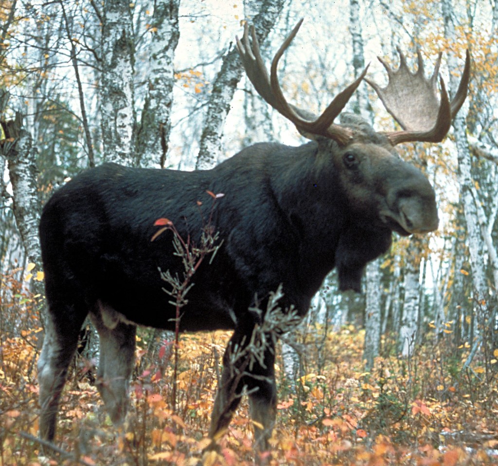
I spent a lot of time outdoors when I wasn’t reading or teaching myself to draw. I spent a lot of time alone. I was miserable but determined to get by. I got treed by rutting bull moose before an elder helped me understand that where wolves follow the trail moose stay away. I figured out how to deliver trash to the dump without ending up with a black bear cub in the truck. I learned to ski and fish, to skin a deer. I planted trees and worked at the local resort for money. I watched northern lights.
The natural experience shaped me into the person I am today while the human experience left me focused on one thing: getting an education and getting out. I finally did, returning once when my mother was killed by drunk-driving teenagers and then when my brothers threw their share of her ashes into Lake Superior from the Hovland Dock.
The noise, glare, and claustrophobia of city life never suited me after that. Decades later, I bought the only house I’ve owned in river flood plain, where only a few crazy folk like me would chance it. I have spent almost two decades planting a green barrier with only wildlife and few trusted people welcome.

Cedar Waxwing with crown. 
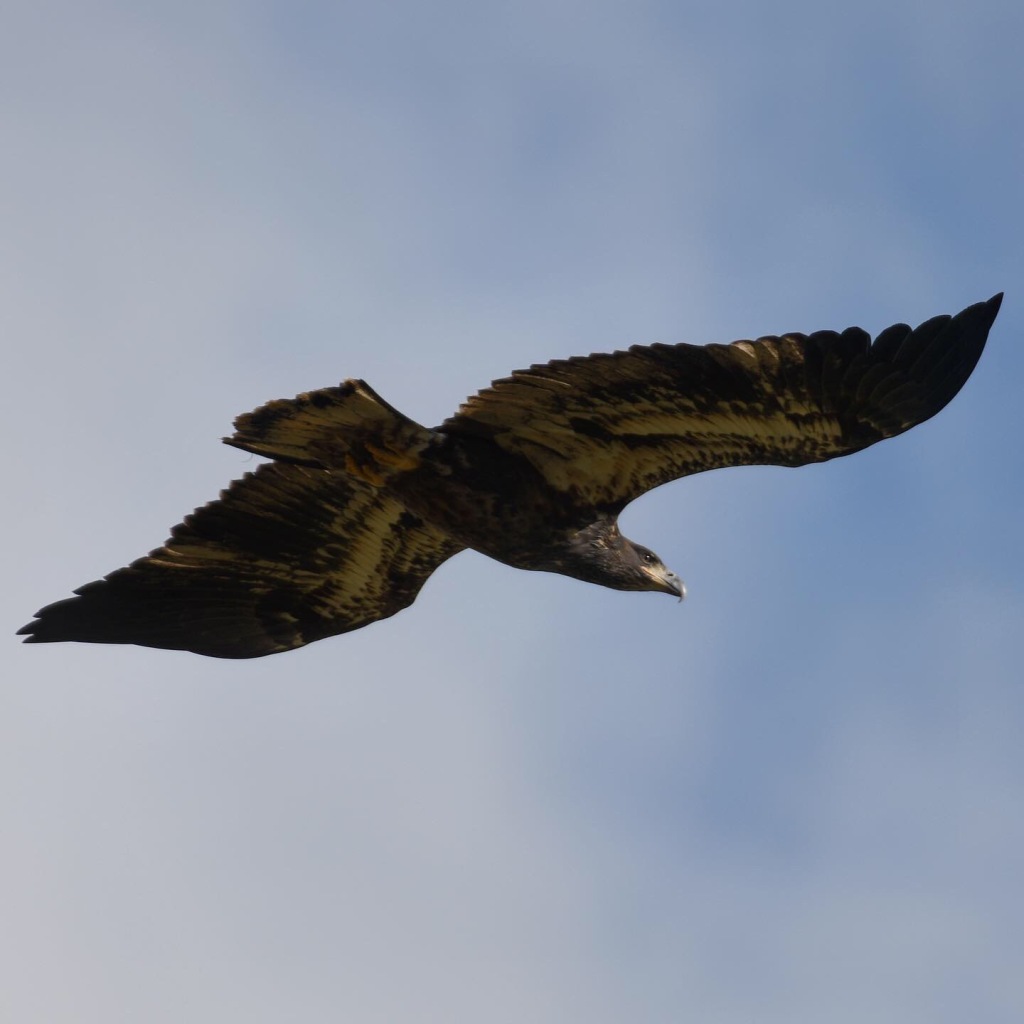
A bald eagle finds a dubious perch in a small tree. 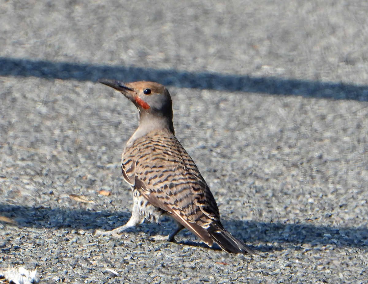
A northern flicker looks at me as I eat dinner on the porch. 
A common garter snake suns itself in front of my barn. 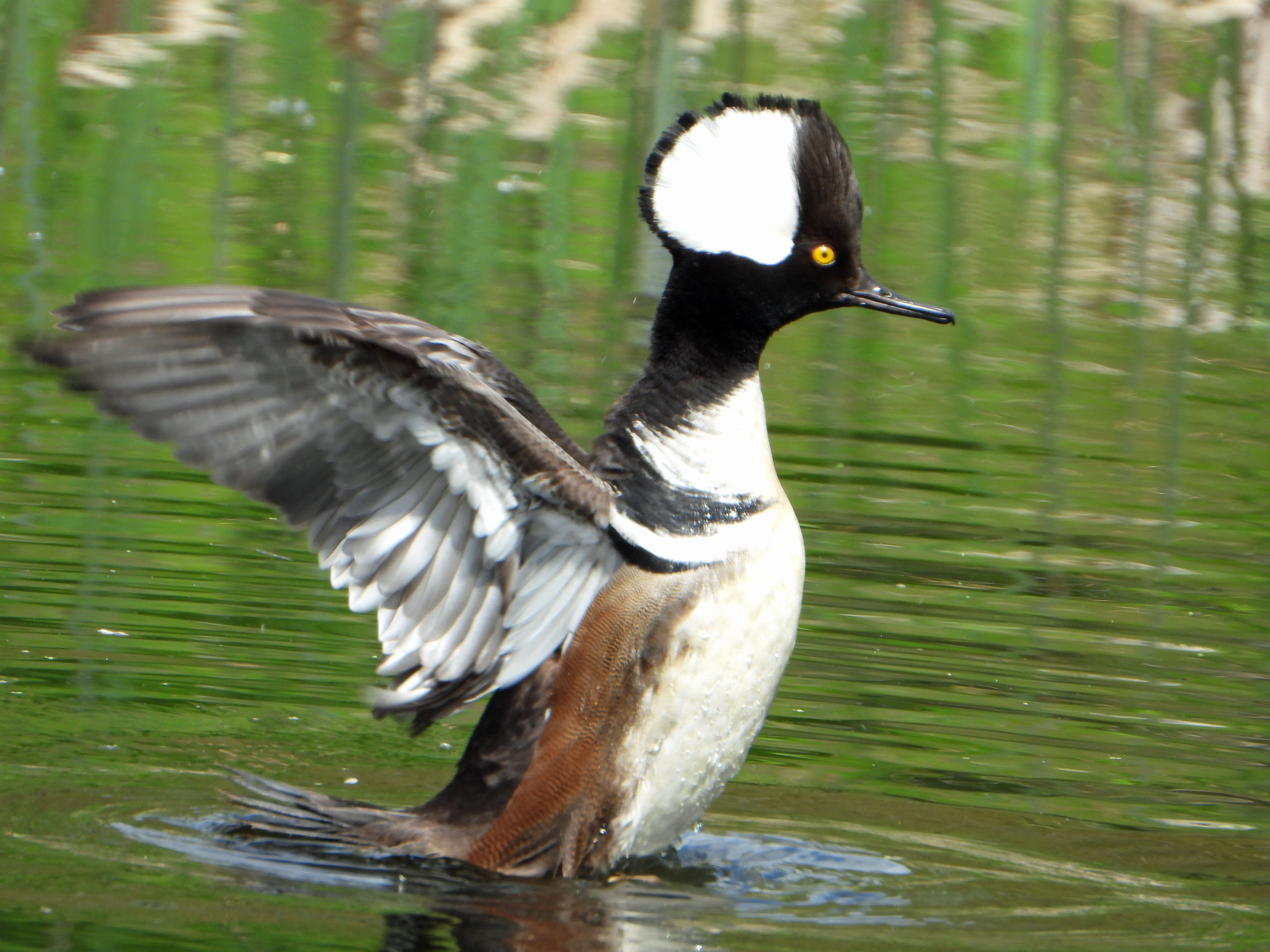
Mergansers and other ducks have lost habitat and may be overhunted in our area. 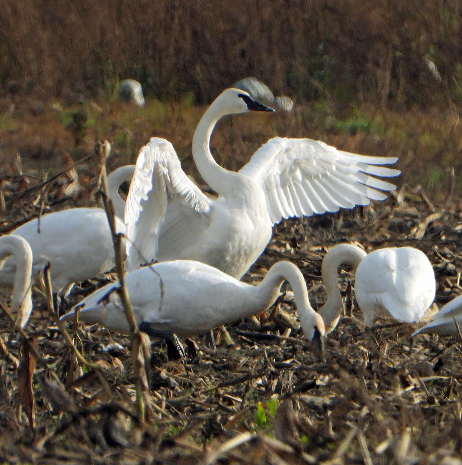
Trumpeter swans feed in a neighbor’s cornfield in December. 
A red tail hawk hunts from a post.
But even in a farm with no farm lights, I will never watch the northern lights dance. A dome of artificial light from exploding communities around me obscures the night sky. We can never escape the light or the noise here.
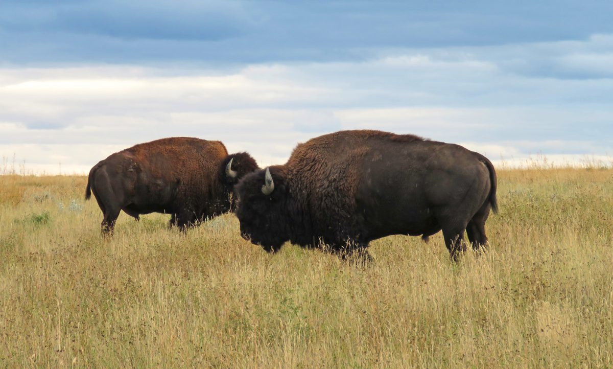
Now here I was driving north, not fully aware I was heading to a place I already knew, a place that shaped who I am. In northern Alberta, I traveled through boreal forest, complete with moose, wolves, and bears, and northern lights. The difference this time was a lifetime of experience and real longing to be there, eyes wide open and ears listening for the call of birds and animals moving through the woods.
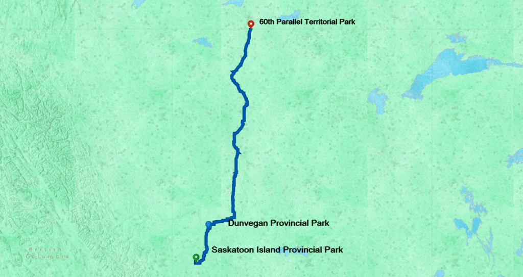
The drive from Saskatoon Island Provincial Park to the 60th Parallel made for a long but interesting day. I headed northeast from Grand Prairie toward Peace River and eventually, north on AB 35.
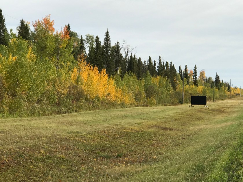
Alberta’s roads are generally like Roman Great Ways. Vital links to resource-rich areas, they are wide, paved, and easy to drive. Hundreds of kilometers are treeless and mowed on each side to keep wildfire from jumping the road. Later in the trip, I talked to an Alberta rancher who harvested hay from the right-of-way.
Besides conferring some wildfire deterrence, the mowed areas provide great sightlines for wildlife. Ravens look as large as calves. It seems like Montana might benefit from this approach to avoid the slaughter that occurs spring and fall on their highways.
The drive changed character as I approached Dunvegan, Alberta on Hwy 2. I started to descend to the Peace River, with some warning of unstable geology.

The road is crossing the Dunvegan Formation, ancient sea bed with rich gas reserves and notorious instability. A geotechnical report from 1959 warned about conditions as a bridge across the Peace River was considered to replace a ferry system.
Eventually that bridge was built. The Dunvegan bridge, constructed of steel, was completed in 1960 as the longest vehicle suspension bridge in Alberta at 274 m.

You can take a drive over the bridge and through the scenery in this YouTube video (pardon the puzzling dramatic music- and here I thought I was a little weird about road trips):
Or better yet, stop at Dunvegan Provincial Park for a visit or the night. The park is at the site of historic Fort Dunvegan, a fur trading post. While I’m no more a fan of the fur trade than I am of logging or war, I believe it is important for us to understand that history. The fur trade decimated wildlife and indigenous peoples coerced or forced to support it, and has had ramifications for the environment to today.

The Dunvegan Maple is a prominent historical feature. 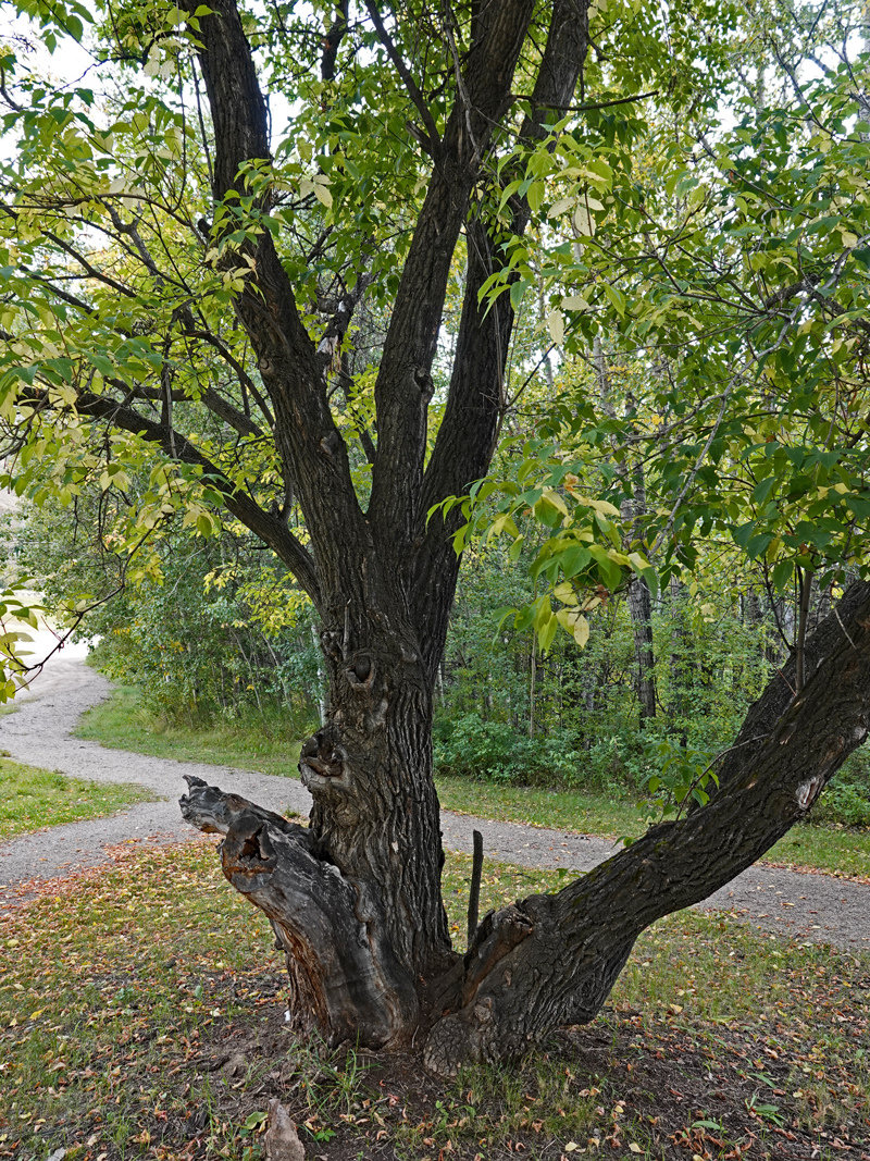
Dunvegan Maples were imported from Manitoba in the late 1800’s. 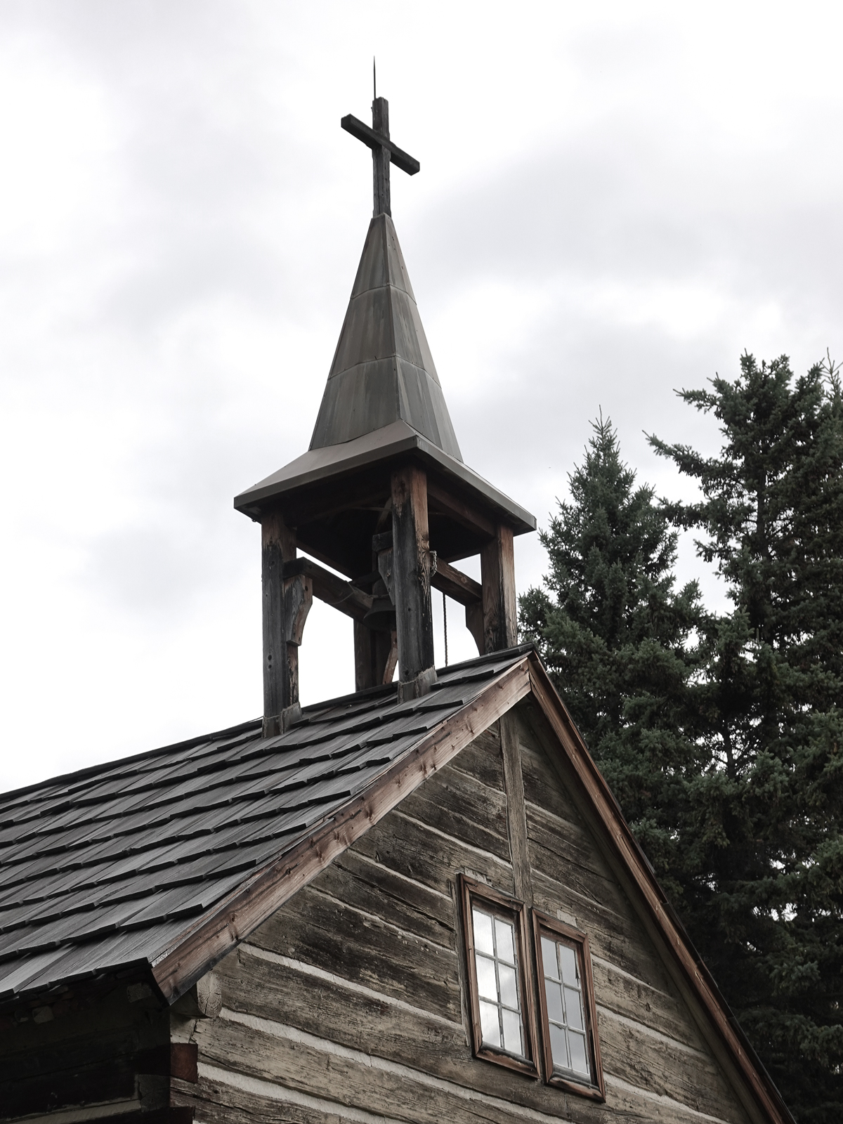
St. Charles Church was built in 1885. 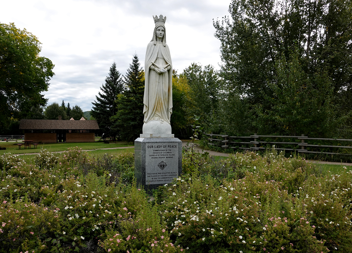
Our Lady of Peace, a statue commissioned by the Knights of Columbus in commemoration of Dunvegan history. 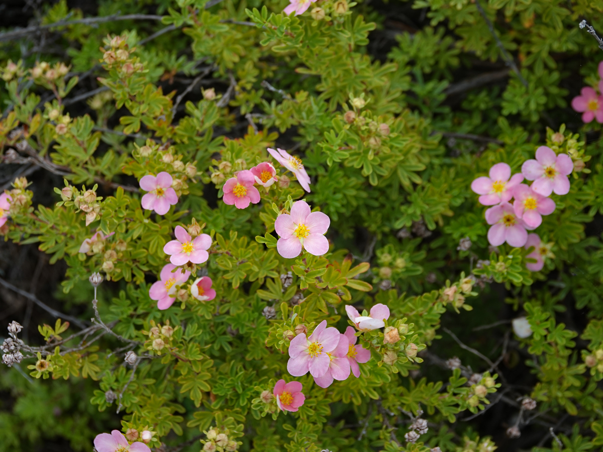
These roses bloomed despite the cold day in late September. 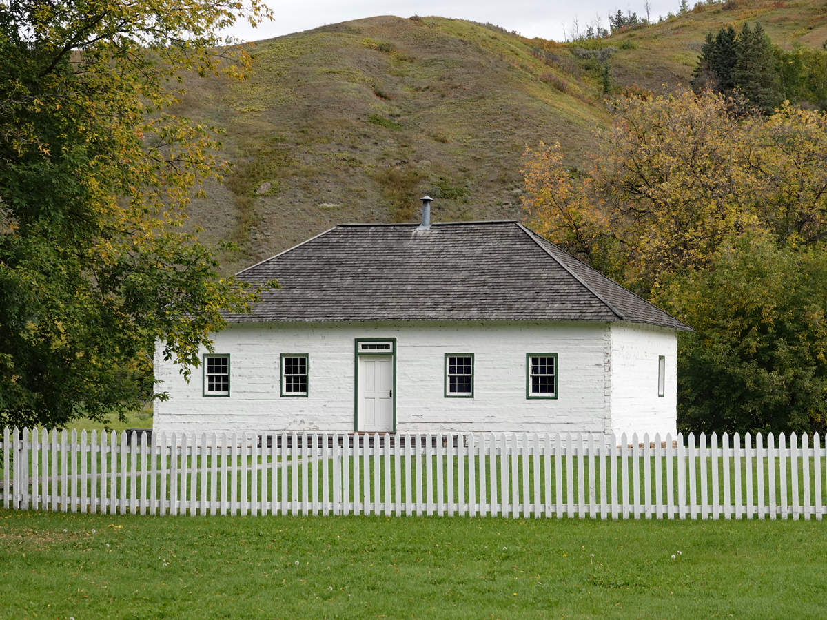
You can walk trails to explore the history and grounds of Fort Dunvegan. 
Trails lead to views of the Peace River and the Dunvegan Bridge.
Historic Dunvegan District includes not just remnants of the fur trade, but also historic trees. You can touch the bark of Dunvegan Maples brought to the area from Manitoba in the late 1800’s. I wondered how many historic moments include these furrowed trees as silent witnesses in the backdrop.
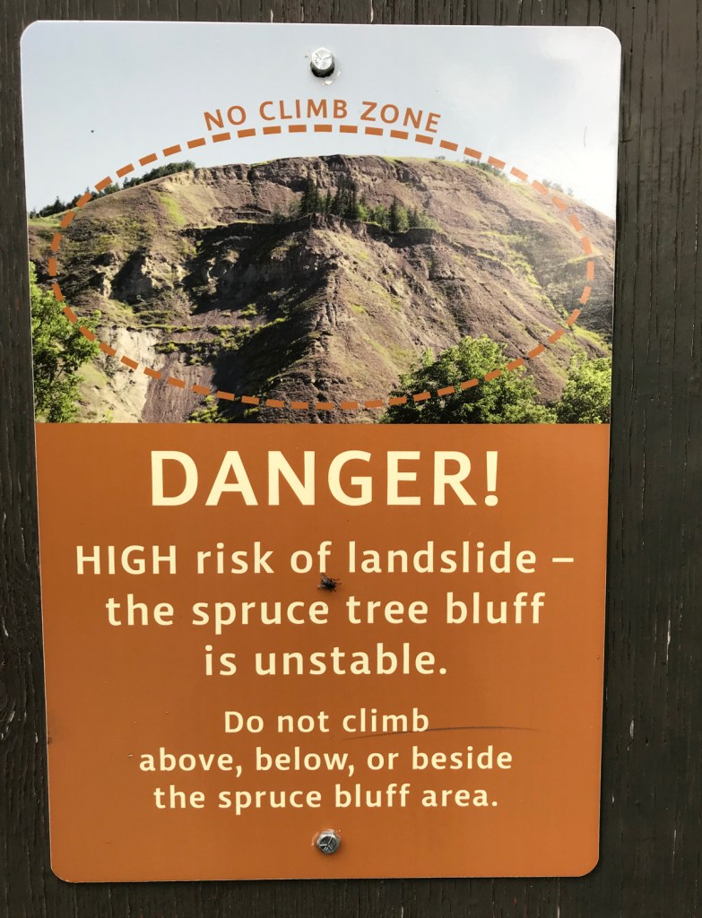
I could easily spend a full day at Dunvegan, but I know there is one thing I won’t be doing: hiking the hills.

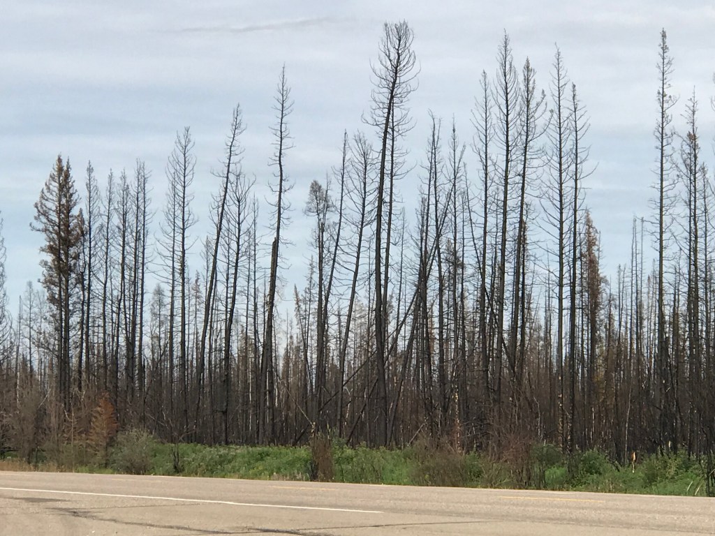
Turning onto Highway 35, I returned to parkway like-conditions alongside the road. I found that mowing is not a guarantee that epic wildfires won’t jump the highway. Increasing heat and drought create potentially explosive conditions for wildfire. All bets are off when a fire starts.
High Level looked like a good stopping point when I first put together my plan in March. But as I traveled through southern Alberta in May 2019, I heard reports that fire had engulfed the area. I decided not to risk it and set my eyes on 60th Parallel Territorial Park as my next stop.

What I didn’t realize is that the fire chased High Level residents out of town a couple of times, but what really burned was Paddle Prairie. As I drove through this Metis settlement, I saw people clearing burned debris and rebuilding houses. I wondered why Paddle Prairie burned while High Level was spared; some reports say that Paddle Prairie might have been more impacted by unequal distribution of firefighting resources.
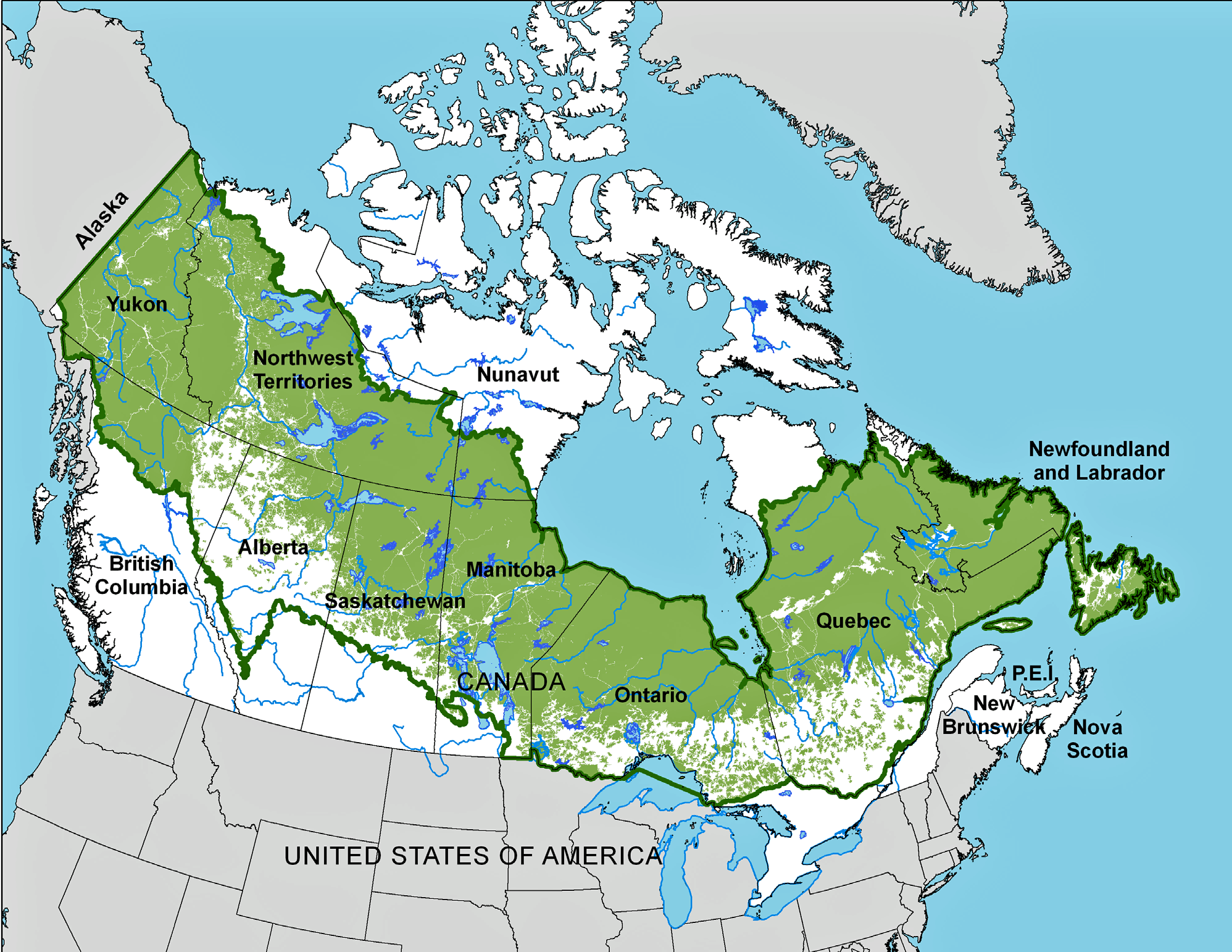
The settlers of North America were line drawers. When forced, they used natural features as boundaries. They preferred to slice and dice North America using squares, rectangles, polygons and placed abstract, sometimes arbitrary lines on paper and and on the ground.
The 60th Parallel is one of those lines. It divides the northern and southern provinces of Canada. “North of 60” is sometimes used to describe the provinces that lie closer to the pole, just as “Midwest” describes 12 states in the north-central U.S.
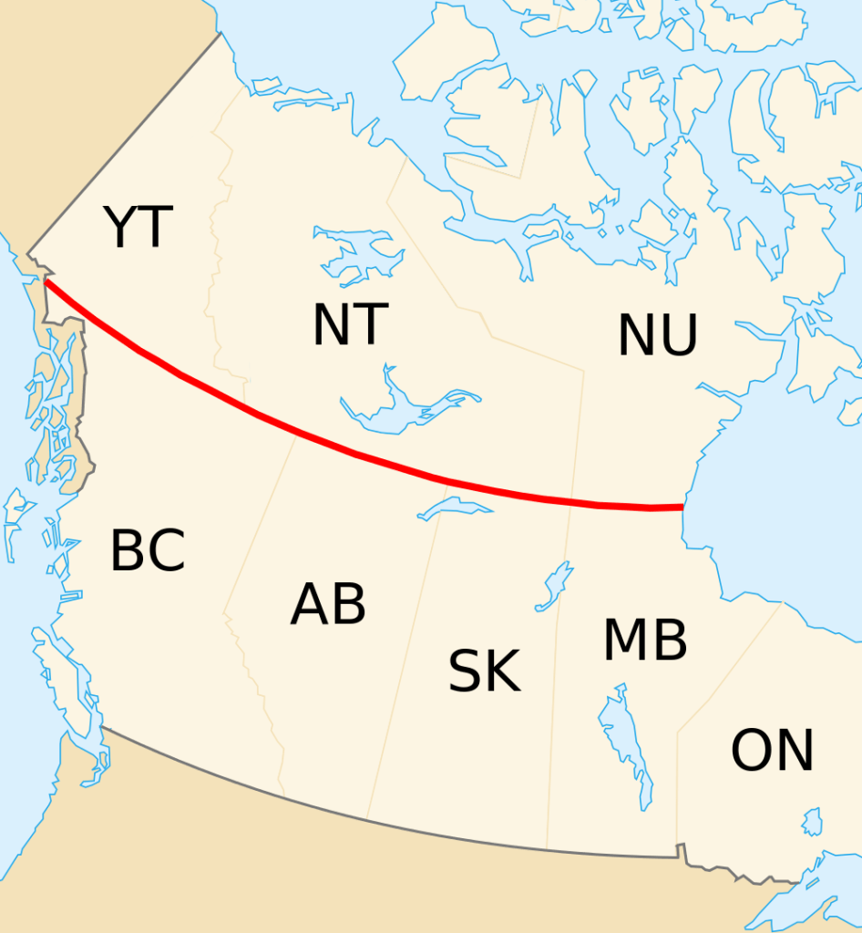
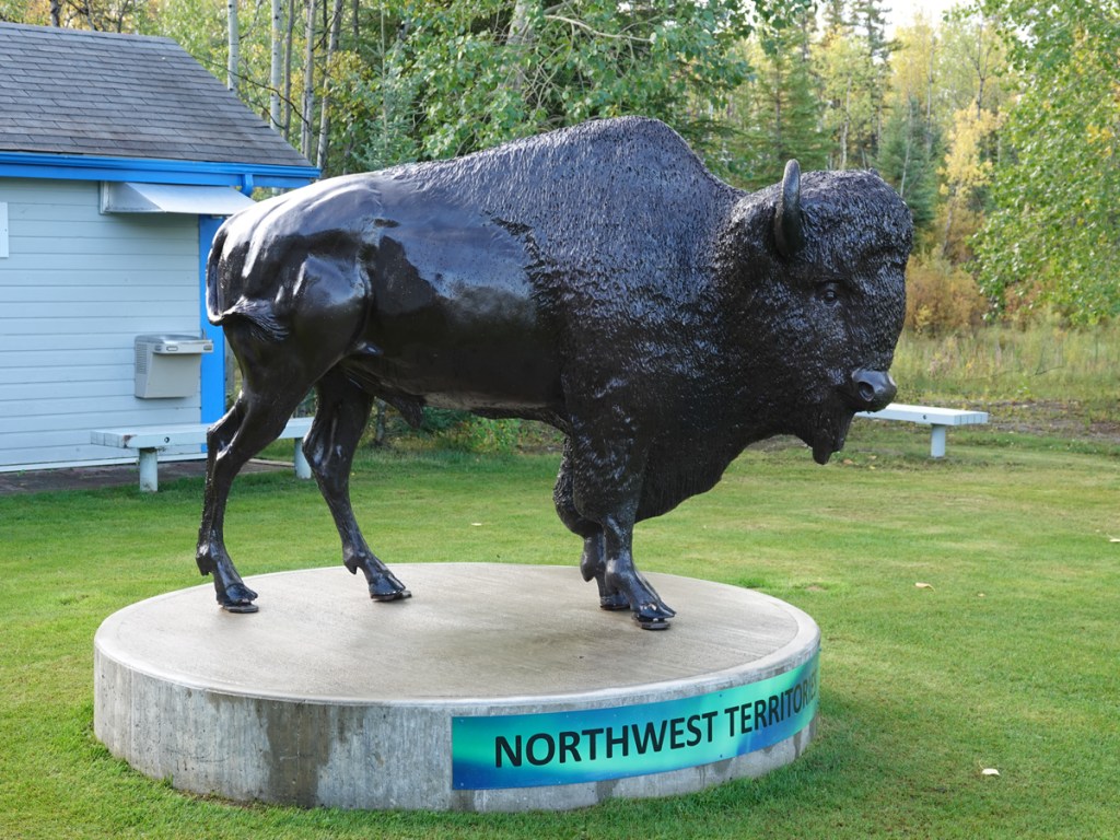
In addition to being an abitrary line, the 60th Parallel heralds your entry into a new province. This is marked with great fanfare as you enter Northwest Territories. Despite grey weather threatening rain and creeping tiredness, I felt welcome. I made it.

I stopped in the Visitor Center to check into my campsite. As usual, I looked a little silly, conditioned to reserve a spot even though I was traveling in off-season in a lightly traveled area. The woman behind the desk was friendly and funny, with great stories and good travel advice. I believe she was Metis from her stories, but I didn’t know if it was polite to ask.
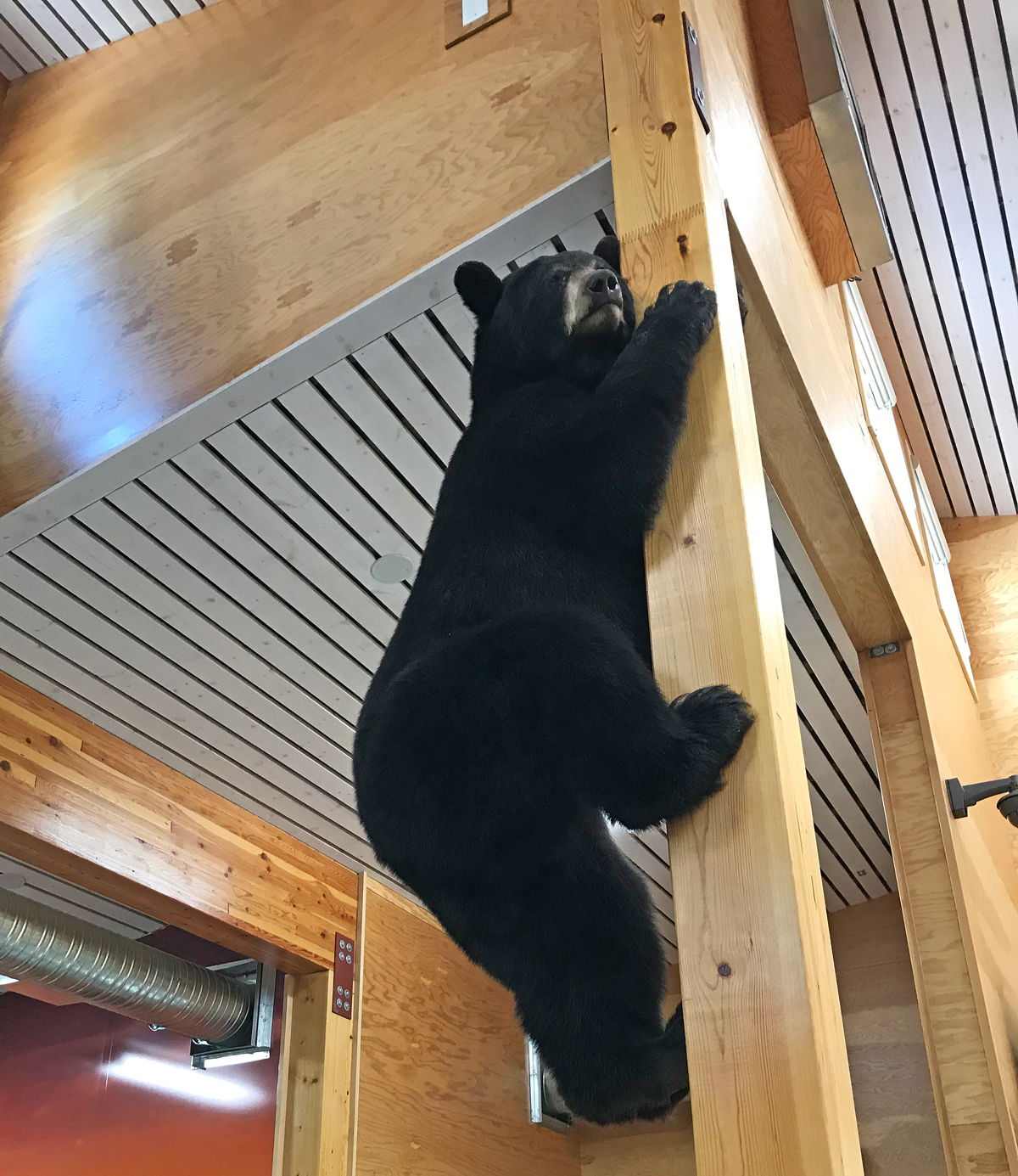
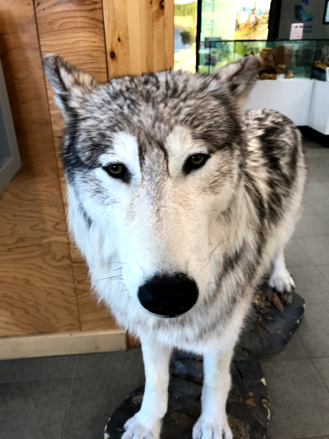
The number of wildlife mounts increased at visitors centers as I moved northward. This may be due to the increased amount of wildlife you might encounter as a tourist, combined with the number of accidents and conflicts they have because of people. The nice employee gave me wildlife tips along with some tales of mistakes people made over the summer. There was the person who insisted on feeding the fox after she said it wasn’t allowed. And then a couple decided to camp in the backcountry with no preparation for bears. I would find signs of worse as I traveled.


There were few visitors. One couple making dinner in the day use area slept in their van. Another van drove up and stopped. The driver was a man who was all of 4 1/2 feet when I saw him on the ground. His van was modified to let him enjoy roadtripping like everyone else. He asked me if I knew how to pay for a site if the visitor’s center was closed. I told him I didn’t, but he could probably wait until morning. He said he had driven for eight hours and needed to turn in.
There was a potted cactus strapped into the passenger seat of his van.

I set up camp on a chilly night, ate, and turned in after a walk to the river. Just as I snuggled in my bag, the raindrops started to tap on the tent fly, first a few, then rat-a-tat-a-tat. My sleeping bag was cozy and I dropped off to sleep.
Rain fell all night, then stopped at dawn. The sun was rising over the Hay River as I strolled to the lone outhouse, bundled up against the damp chill. The small man was walking with a camera to catch the sunrise. I came back with mine and we nodded hello in passing. We’re all a little different here, I thought. And that’s alright.

I walked down to the river and looked up to see a canoe on the bank. That’s when it hit me. I had come back willingly– even at risk– to a place I once refused to call home.

