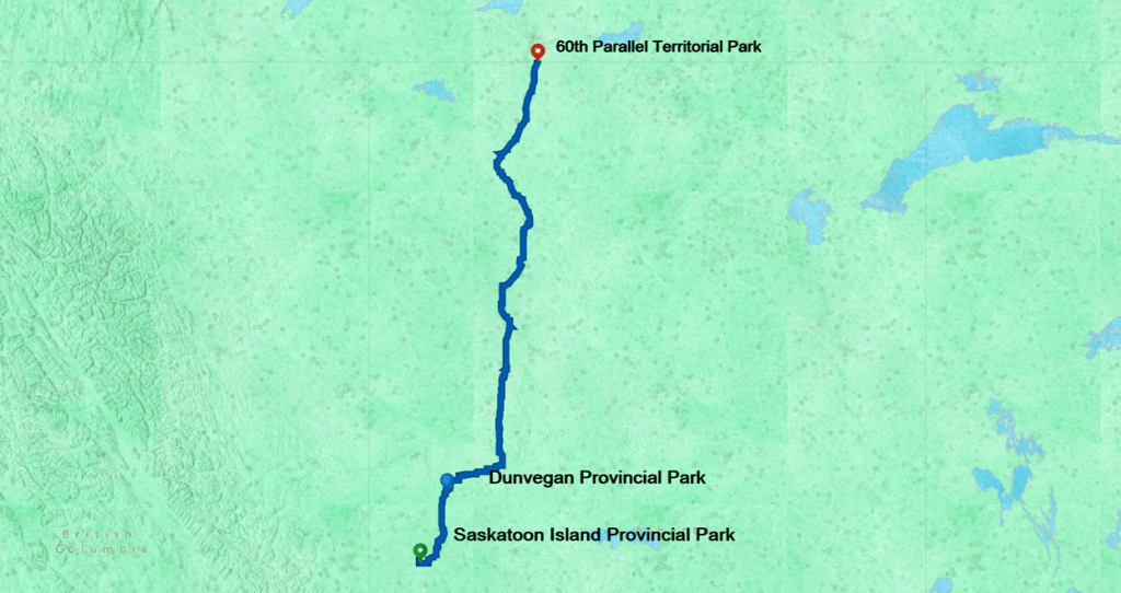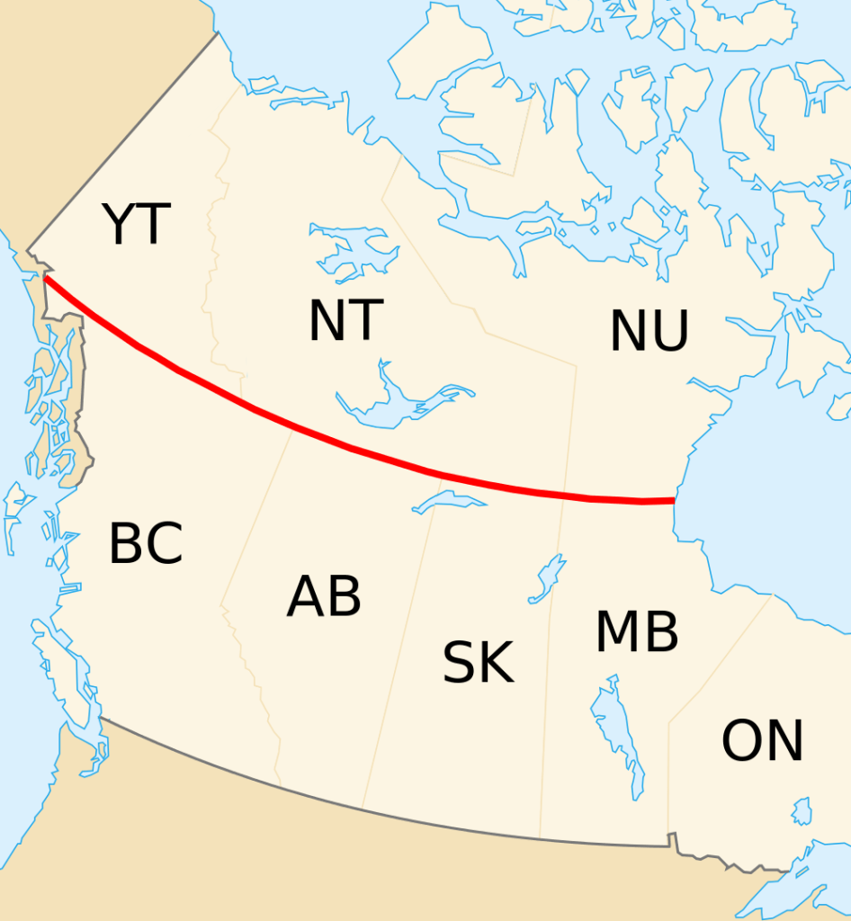

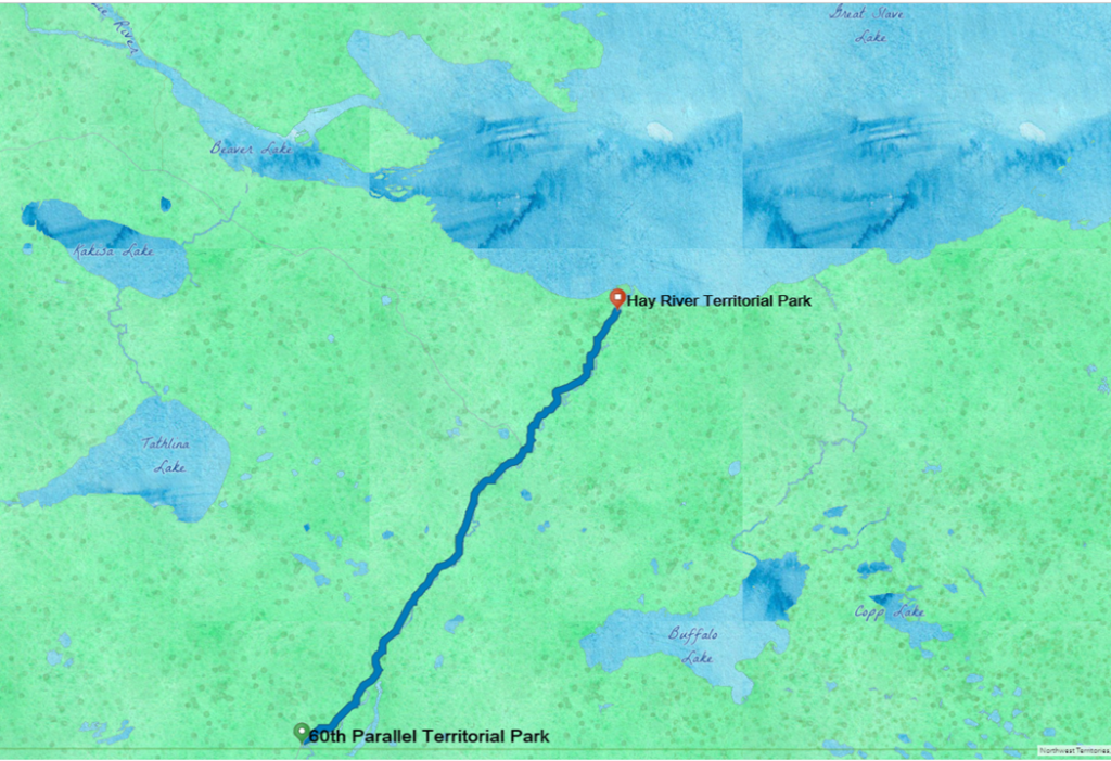
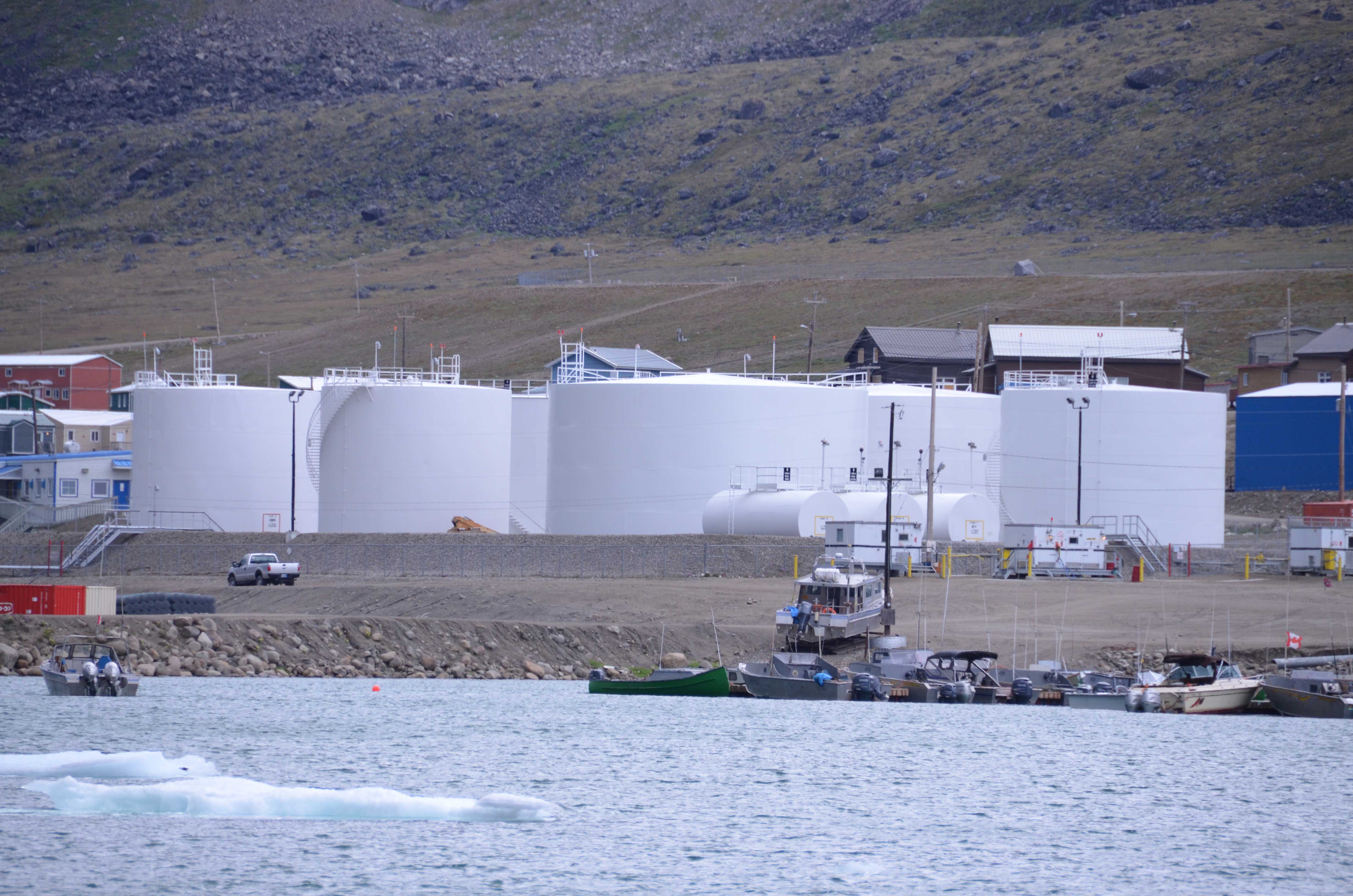
The next leg of my journey unexpectedly closed a loop on a trip I took to Baffin Island in 2015. The 2-hour run from 60th Parallel Territorial Park to Hay River made for a short driving day and an opportunity to explore. At Hay River, I found a place connected by water to the remote lands I trekked not too long ago.
I do appreciate journeys alone to explore and reflect. But when I spend too much time submerged in memories, I feel like an Inuit orhpan standing on cracked arctic ice above waters full of lurking beings with dubious intent. The Qalupalik might crawl out of the water, shove me into its amauti, and slip back under the ice. I might fall into the cold, dark sea and get tangled in Nuliajuk’s hair forever.
Pangnirtung Fjord, NU 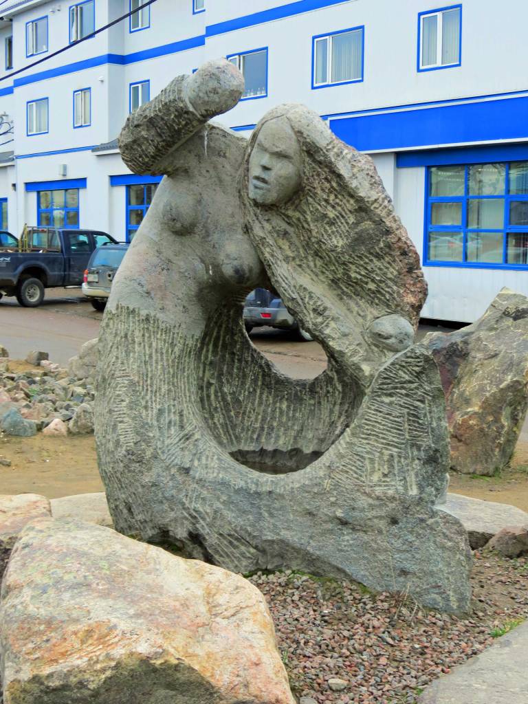
Stone carving of Nuliajuk, Iqaluit, NU
So it is nice to come up for air once in awhile. Mystified? Check videos at the end of this story.
I traveled to the 60th Parallel and Hay River via the MacKenzie Highway. Highway construction was started in the late 1930’s, delayed by World War II, and continued after the war ended. The road reached Hay River in 1949.
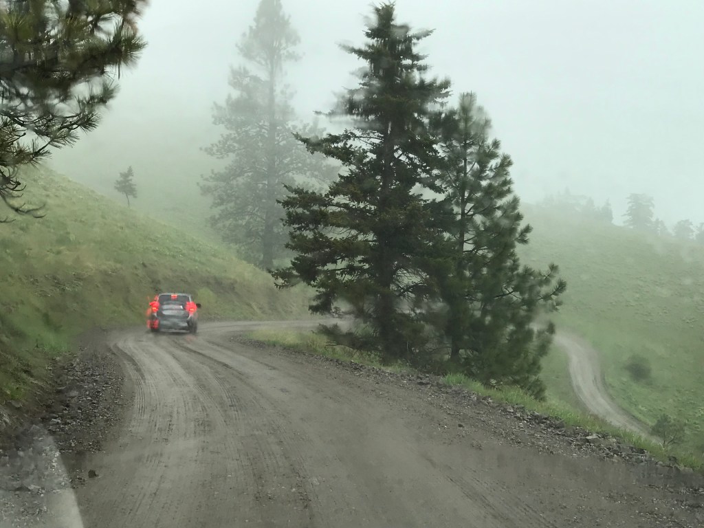
There are few roads in this area, but they are invaluable for residents and resource extraction. Road building is an adventure here: bridges must span wild rivers to replace ferries and ice roads, and fuel for construction equipment is expensive.
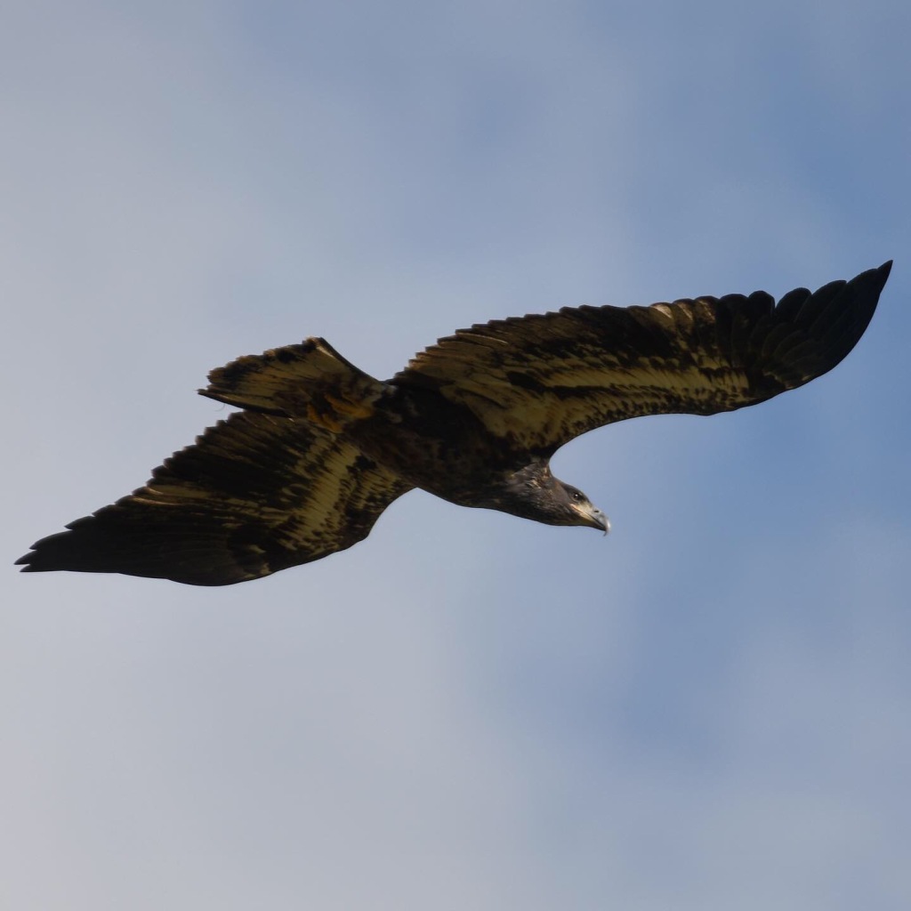
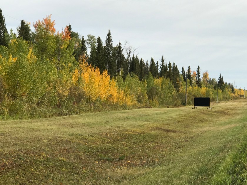
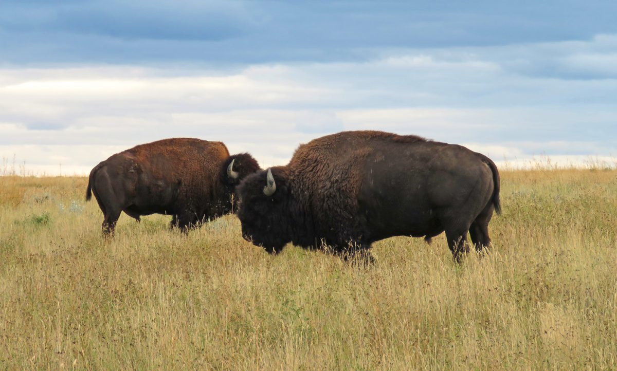
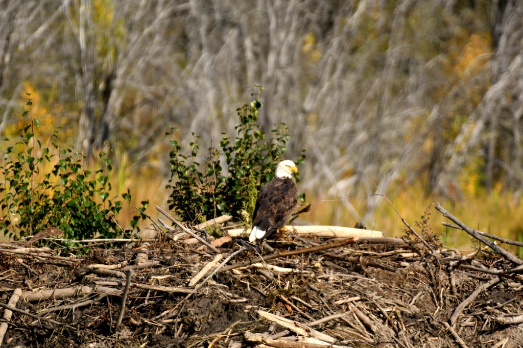
Along the roadside varicolored wetlands increased in forest breaks. Some areas looked like muskeg with scrawny aspens and stunted spruce leaning precariously over treacherously soggy ground. I saw tamarack turning yellow along the roadside. Beaver dams were large, and if this eagle is any clue, good hunting grounds.
At one point, I saw an animal walking the roadside, and as I came upon it, a person. A woman in full bush gear and mosquito netting was walking a cow. I thought I might have been on the road way too long for sanity, but I discovered the source of this apparent mirage later that day.
Hay River’s history is about resource extraction small and large. The first peoples to occupy the area after the last Ice Age would have come for fish, game, and birds, following the rivers and portaging around falls.
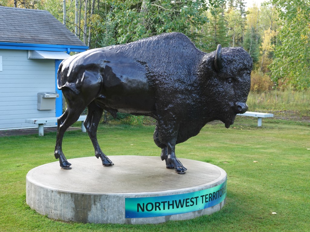
Today, the economy of the Northwest Territories is founded on mining. NWT is rich in diamonds and mineral resources. When I stop at the Hay River Visitor Center and buy gifts a few days later, my bounty is packed into a DeBeers Diamonds reusable bag.
Hay River also sees the sealift set off with food and supplies- including furniture and cars- from the Mackenzie River to coastal villages.
I learned that the sealift that serves Baffin Island starts at Hay River. Sealift operations are a lifeline for remote communities, as I saw in 2015. When lingering pack ice prevented the ships from accessing these communities, the federal government set up an emergency ice-breaking operation. The villages were running out of rations and fuel and would have been in trouble if winter set in early.
The government of Northwest Territories took over an insolvent sealift operation in 2016, not without some controversy among private marine transport companies. But realiable service is critical since subsistence hunting and fishing is no longer an option for survival.
The NWT government has ambitious goals to increase tourism as an economic contributor. The “Tourism 2020” goal is to increase awareness of the area as a destination and raise tourism income to $207 million/year. The Northwest Territories has a more active tourism campaign with “Spectacular NWT” than my own state does!
Winter has been a big sell for Yellowknife as a destination to see the aurora borealis (northern lights). Locals tell me that plane loads of people arrive from Japan all winter, and hotels are full.
For people like me, wildlife and nature nuts, the ground and forest of NWT holds as many suprises as the night sky, and guess what? There is an autumn aurora season, when summer visitors are gone, and the winter tourists are still at home packing.
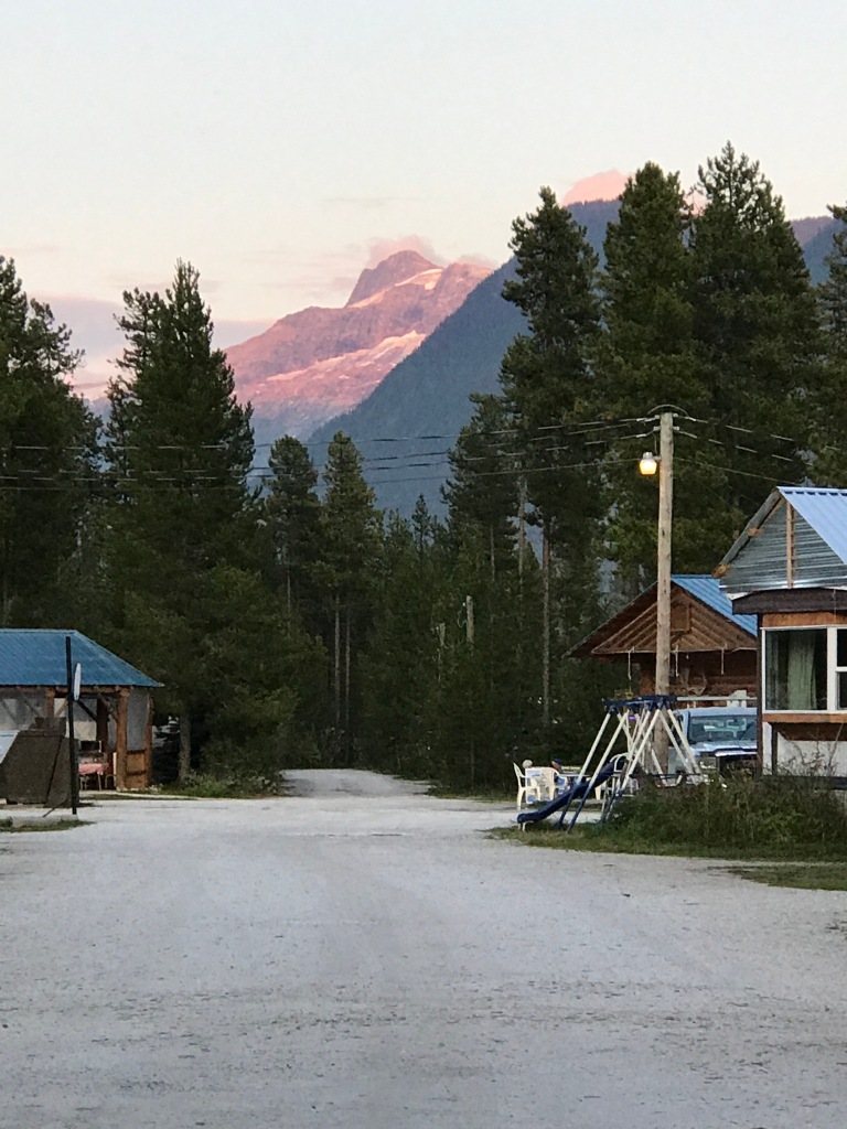
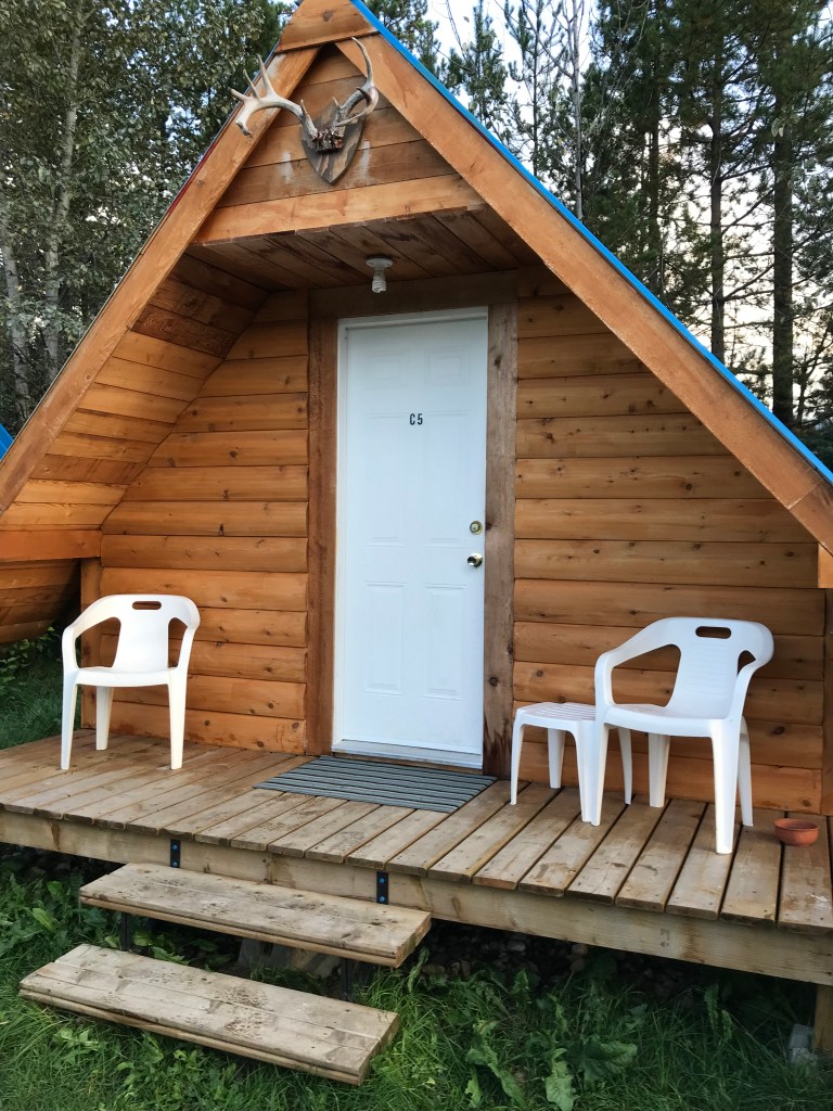
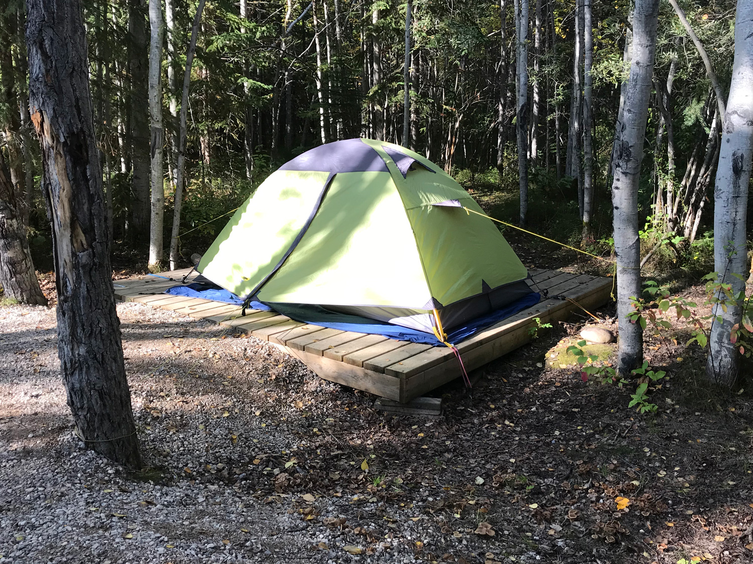
I arrived after my short drive on a Saturday, with time and options for activities. I checked in early to the wonderful Hay River Territorial Park campground. This campground had actual campers, many in RV’s. Some looked like seasonal residents. The campground is tidy, with a central, heated washroom/shower room and a laundry. There are more amenities, but the campground manager encouraged me to skip setting up my tent and take advantage of events in Hay River.
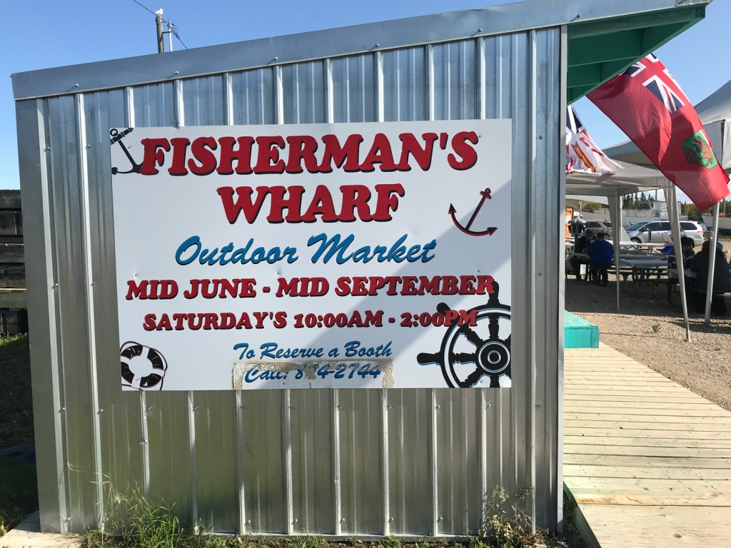
First I stopped at the Fisherman’s Wharf for a plate of beer-battered whitefish and chips. It was the last day of the season for the Saturday market, which I had marked at home as a must-do. There were a few vendors for arts and goods, and several for fish and chips. I will bet the wharf is jammed during the summer.
I ordered and chatted with the women cooking the fish. Whitefish were declining in the rivers and lakes, they said, and they were not sure about the effects of development and mining on water quality and fish. But fishing was their livelihood in season, and they would continue on until they couldn’t. I could go fishing with an outfitter if I had time, they told me. Maybe next time; this time I would just indulge in their catch.
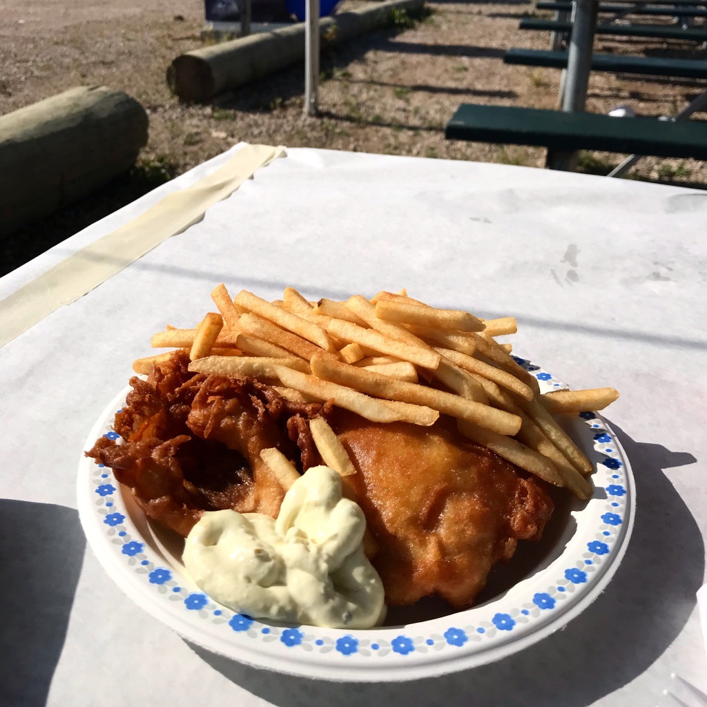
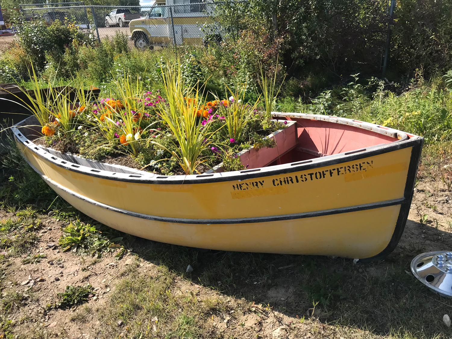
I ate my fish and chips at a table in the sun and watched a young girl chase seagulls. The day was cool and clear, with the thin fall sun lighting up the boat planters.

I reached Hay River Territorial Park and Fisherman’s Wharf across a bridge that connects New Town with Old Town (maps located here). Old Town, exposed to the surrounding waters, was submerged by the Great Flood of 1963. The entire population was evacuated as ice jams that had held back spring meltwater burst and crushed the town.

View of Old Town in the 1963 flood, from the NWT Archives.
NWT Archives/Bobby Porritt fonds/N-1987-016: 0007
The New Town area was built so that people could move back to safer ground. But some returned to Old Town and stayed on Vale Island, accessible only by boat and winter road. Driving through old town, you can reach the abrupt and unassuming end of the Mackenzie Highway in Hay River. Along the way there is unmarked access to a serene, driftwood-strewn beach where you can sit and gaze across the Great Slave Lake.
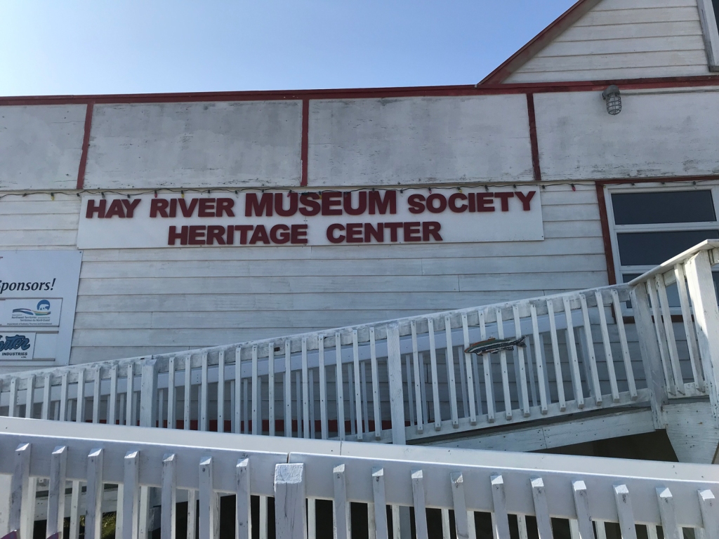
After lunch, I stopped at the Hay River Museum, around the corner from the wharf. I am a huge fan of community museums, and this one did not disappoint. You will never see a place in three dimensions until you will view donated collections listening to stories told by a local volunteer docent.
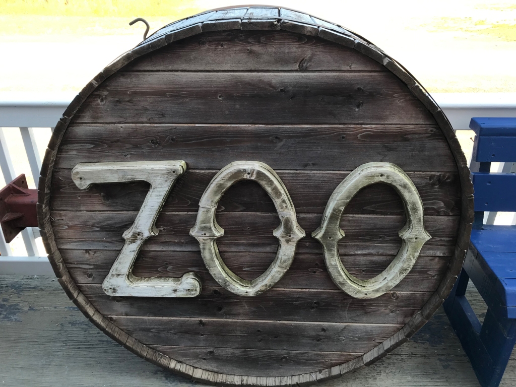
What popped out as I was coming in was a round wooden sign that said, “ZOO”. The gentleman behind the counter started to laugh when I pointed at it and raised my eyebrows.
“That sign has a story,” he said. It came from one of the oldest buildings in Hay River, a complex of restaurants, hotel, bar, general store, post office, and even pharmacy. The Zoo held a lot of memories but not much structure after 70 years of subarctic weather and heavy use. Apparently people were upset by the loss of the dilapidated complex and felt it should have historic designation. One man got drunk and stole the sign, convinced it would be destroyed. The next day, hung over and embarrassed, he gave it up and here it sits on the porch at the Heritage Center.
If things were different – say, if the buildings did not appear to have survived a riot and look like they could fall down in a stiff breeze – maybe an effort could be made to save them.
Paul Bickford, Hay River Hub, July 2, 2019
My host was a retired tug captain who plied the Canadian Arctic his entire career. He thought it might be nice to live somewhere warm, so he bought a retirement home in Arizona in a development full of retirees. He hated it so much that he sold the house at a loss and came back to Hay River. “I liked the warm weather in winter,” he said, “but that was about it.”
The museum traced the town’s history from a Hudson’s Bay Company fur trading post to a hub of commercial fishing and finally, a center for shipping and second home to men working the mines. As always, there was a suitcase with gas mask from World War I. There is always a gas mask, a reminder of why international diplomacy is preferable to war.
Ancient fossils were the most surprising find to me. It was starting to dawn on me that I missed something very important when I researched this trip.
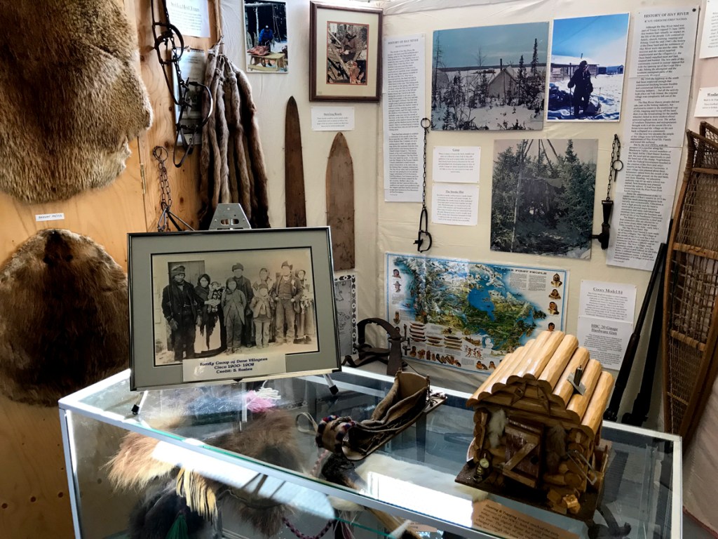
Fur trade at the Hay River Hudson’s Bay post 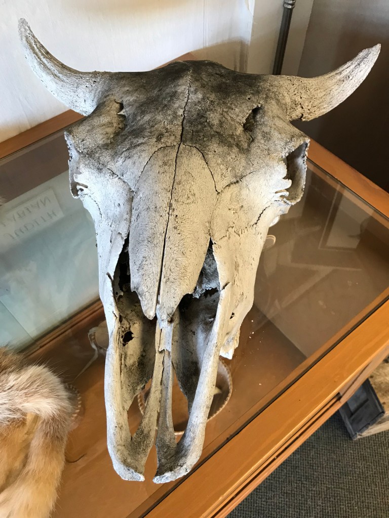
Bison skull from the area 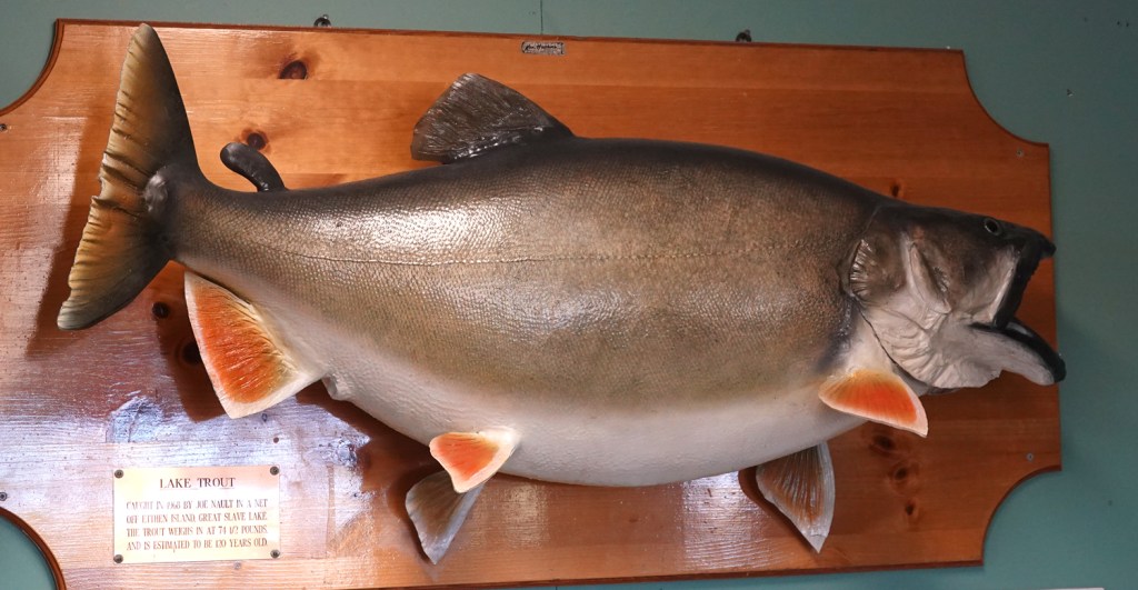
Great Slave Lake Trout. These deep-dwelling fish can reach 60-70 lbs. 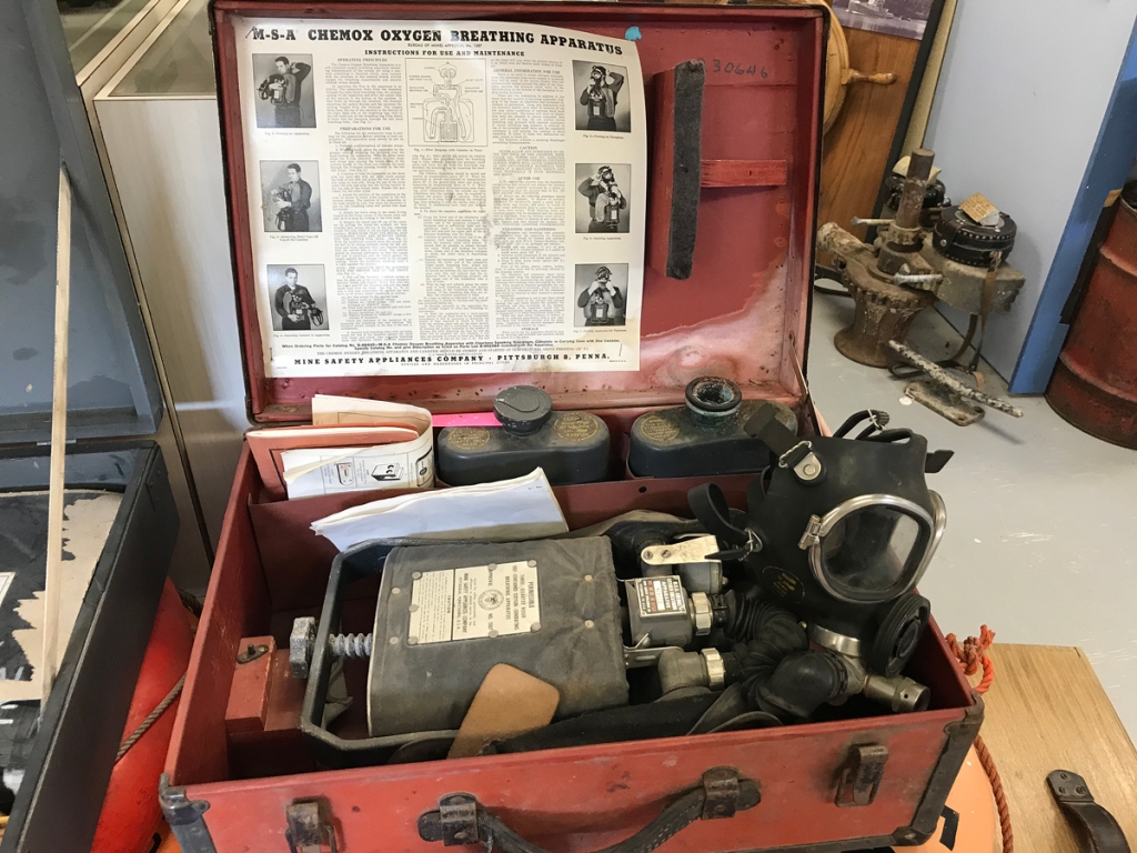
Every community museum has features a donated World War I era gas mask setup. Mustard gas was used then. 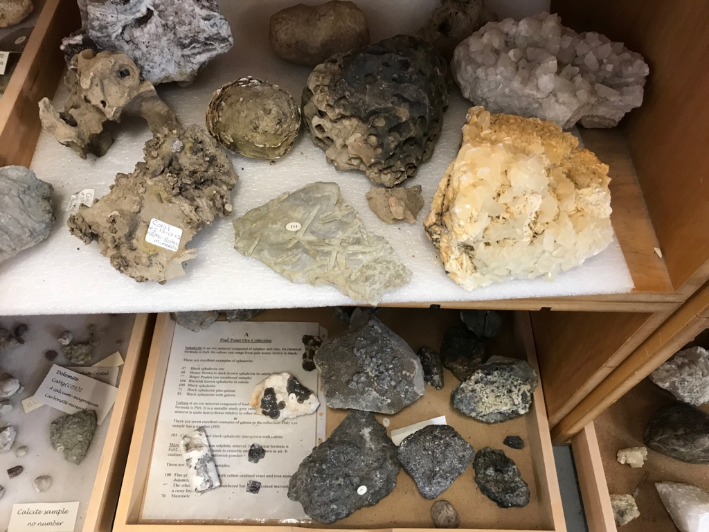
Shelves of ancient fossils and minerals reveal the richness and ancient history of NWT.
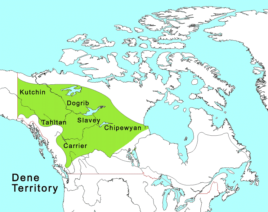
The exhibits included a display about indigneous peoples of the area, along with various sashes of the Métis. I got one burning question answered: the origin of the lake’s name. Apparently the Dene people settled in this area were known as the “Slavey people” by the Cree. This is reported to be wishful thinking by the Cree, who enslaved their enemies. Great and Lesser Slave Lakes are named after the Dene.
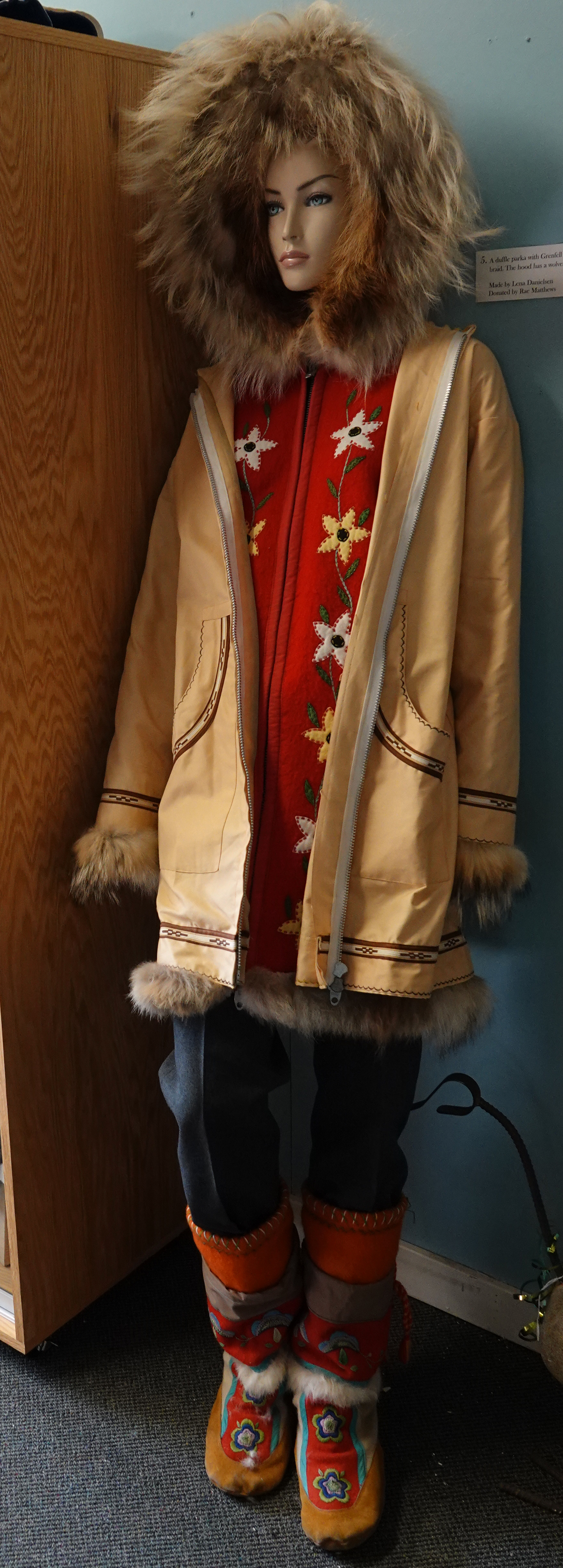
The museum had clothing donations that likely will inspire some faux-outdoor collection on a runway at some point. If these models could move, they would take selfies and declare themselves Instagram influencers. Because… attitude. And style.

On the wall hung a ceremonial parka designed for the Hay River Centennial Choir. The Centennial Choir heralded 100 years since Queen Victoria ceded “Rupert’s Land” and the “North-West Territories” to Canada. The choir recorded an album, “North of Sixty”, to commemorate the centennial.
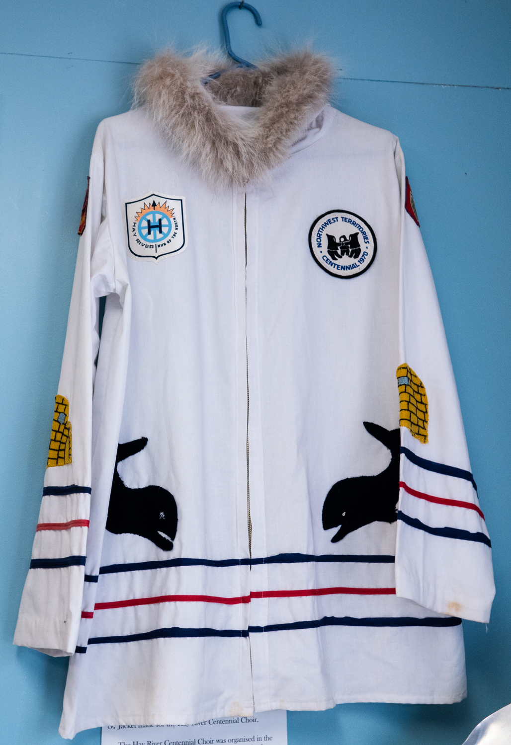
A commemorative jacket made for the Centennial Choir. 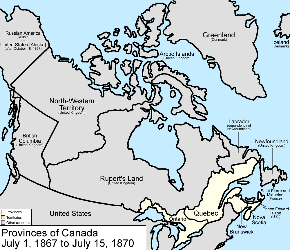
Canada provinces 1867-1870 Golbez assumed (based on copyright claims). [CC BY-SA 3.0 (http://creativecommons.org/licenses/by-sa/3.0/)%5D 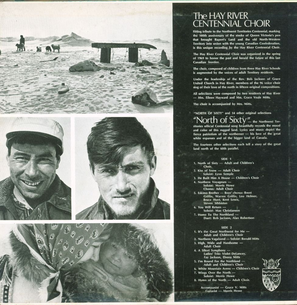
The Centennial Choir’s North of Sixty recording commemorated 100 years since Britain ceded the NWT.
My host gave me a collection of photos of the Inuit. “We ran out of the photo collections for the Dene and Cree,” he said. “I hope that’s okay.” I told him I had traveled to Nunavut and that was just fine. He talked of remote villages he visited there as a tug captain based in Hay River. “It was a good job,” he said.
I gather retirement still doesn’t sit well with him. I wonder if it will be the same for me, or maybe I’ll just wander small, remote towns and community museums until I pass on.
My last stop was the Hay River Trade Show, recommended by my new friend at the Museum. The trade show has two components, a community festival and a commercial hall. I paid $2 to visit and dropped into the community room first. There, awards for produce, arts, and crafts sat proudly on tables. Artists and crafts people sold their wares at other tables, and I found an interesting poster on the Northern Farm Training Institute– owner of that cow I saw walking on the roadside.
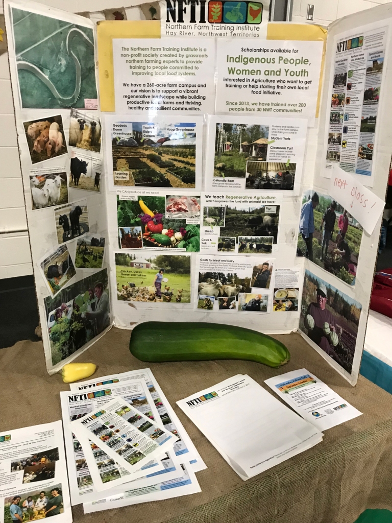
The NFTI was set up to promote food security and affordable, healthy food for northern communities. 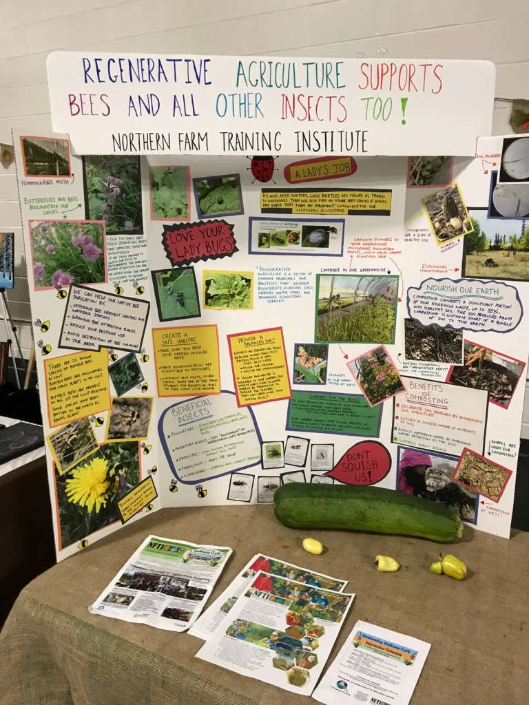
The NFTI is on the pollinator bandwagon with a display on regenerative agriculture and insects. 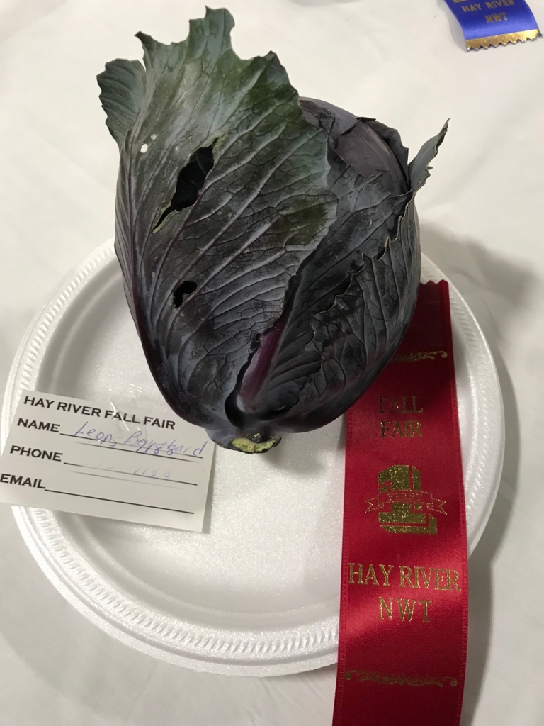
This is the Hay River version of our local and state fair competitions. 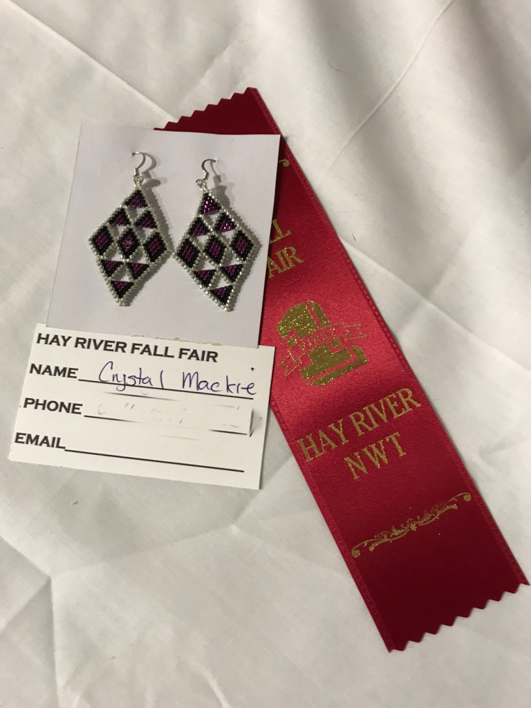
The Fall Festival gave awards for a wide range of arts and crafts as well as produce.
In the commercial section, shiny trucks and fancy ATV’s were parked around the room. Outdoor clothing hung on racks. I found a wildlife photographer and bought some cards from him, then stopped at the NWT government table. The helpful NWT employee talked me through economy, fishing, and tourism, and gave me a coffee cup, lens cloth, and fish recipe book.
The NWT government does a stunning job promoting the region. My state is wishy washy about this as everything else. We just assume people will flock here. As our largest company stumbles on an oversized airplane that couldn’t, I wonder if we should take a cue from NWT.
Finally, I returned to camp and set up for the night. I was unusually tired, but determined to get up for the aurora, which would be visible after 11:00 p.m. I put my camera in the car, set up for the night sky, and turned in after a cup of cocoa.

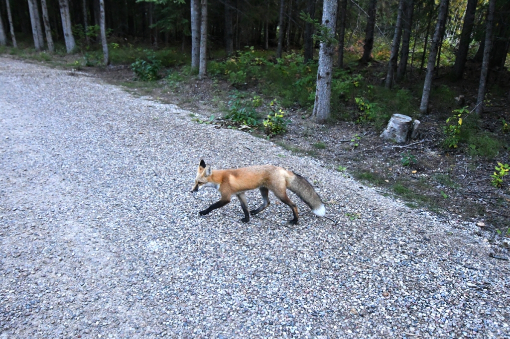
On the way back from the bathhouse, I glanced at the mowed play area and saw a fox. It was jaunty and comfortable, play-pouncing and then rolling in the grass. I dashed back for my camera but it vanished into the forest before I returned.
I needn’t have worried about setting an alarm to get up. I had seen a trendy young couple in chic outdoor wear head for the beach with a tripod, camera, and bottle wine before dark. About 11 pm, their car alarm started going off. They weren’t there to turn it off, and grumpy voices started drifting from sites near and far. Finally, a man arrived, did something magical, and the alarm made a sound like a dying duck before falling silent.
I ddin’t dare try to get my camera from my car. What if I set off the panic button on my fob? I walked to the beach in the dark and watched the aurora shimmer across the water. Headlamps on the beach marked photographers. I wondered if I should chance getting my camera and tripod out. But it was cold and I felt heavy and tired. I headed back to camp.
Near the tent, two foxes darted by me, then paused and looked at me. Lithe and curious, they looped around my legs. One sat down, facing me. I faltered, puzzled and unsure what exactly to do, if anything. I wondered if people feeding them. They must have decided I wasn’t worthy, and skimmed across the road into the next camp.
I turned in with the grim feeling that I might be falling sick again.
Below you will find the Inuit stories I referenced above. Enjoy!